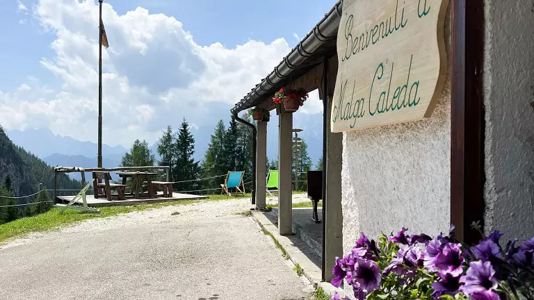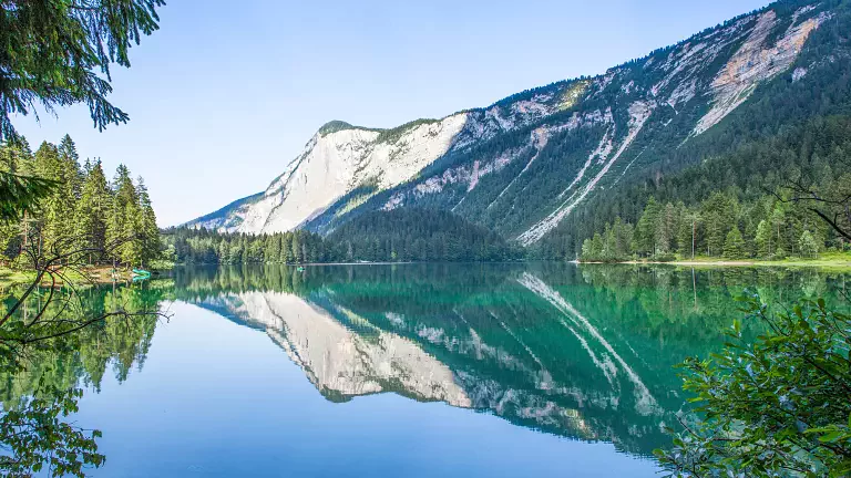
Located on the southern side of the Catena di Bocche, between Passo San Pellegrino and Passo di Vallès, the Lakes of Bocche and Giuribrutto offer a scenic itinerary rich in unspoiled nature and remarkable traces of the First World War. Lake Bocche, nestled at the foot of Zimò de Boce, the highest peak of the range, is one of the most enchanting highlights of the area.
Route from Paneveggio
Total duration: approx. 5 hours round trip
The hike begins in Paneveggio, or just above the Park Visitor Centre, following the easy forest road marked with trail 626. The route climbs gently to the panoramic Malga Bocche, then continues along trail 623 towards a small high‑altitude hut.
After crossing a wide plateau and a small rise, Lake Bocche appears — a quiet alpine lake surrounded by remnants of trenches and military walls. Walking along the shoreline, you follow the markings on the ancient fortifications, a vivid reminder of the Dolomite front.
Ascent to the saddle and views of Cimon di Bocche
The trail leads to the saddle at 2,555 m, on the southern ridge of Cimon di Bocche. From here, trail 628 branches off towards the summit for those seeking an additional panoramic variant.
Descent to Val Giuribrutto and Lake Giuribrutto
Returning to the saddle, the path descends into Val Giuribrutto along trail 628, quickly reaching the Forcella di Giuribrutto. A right turn leads onto trail 629, which descends to the picturesque Lake Giuribrutto, framed by alpine meadows and open views of the Pale di San Martino.
Return to Passo Valles
From the lake, a historic military road climbs to Passo di Vallès and the nearby mountain hut — an ideal spot for a scenic break before heading back.