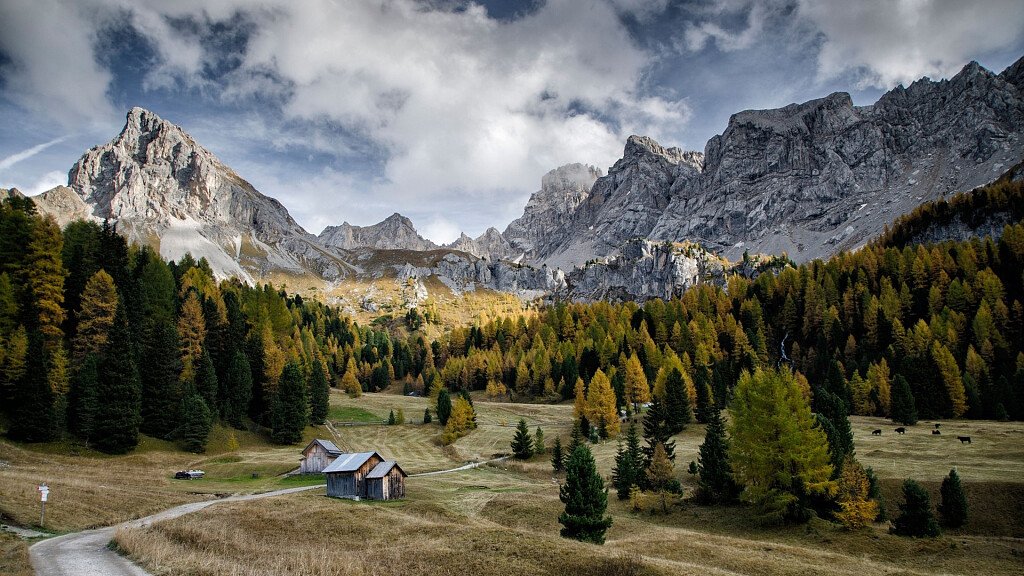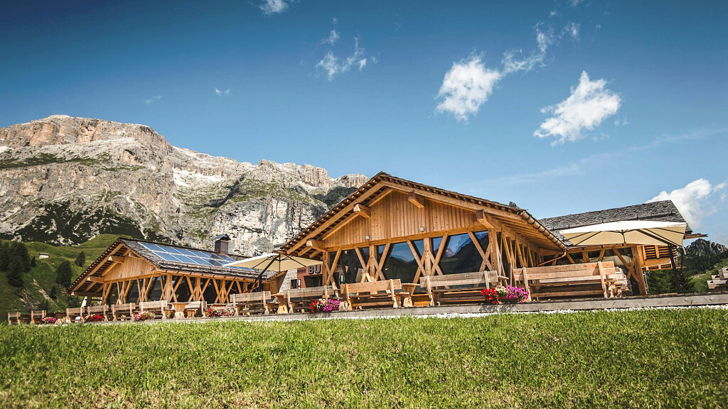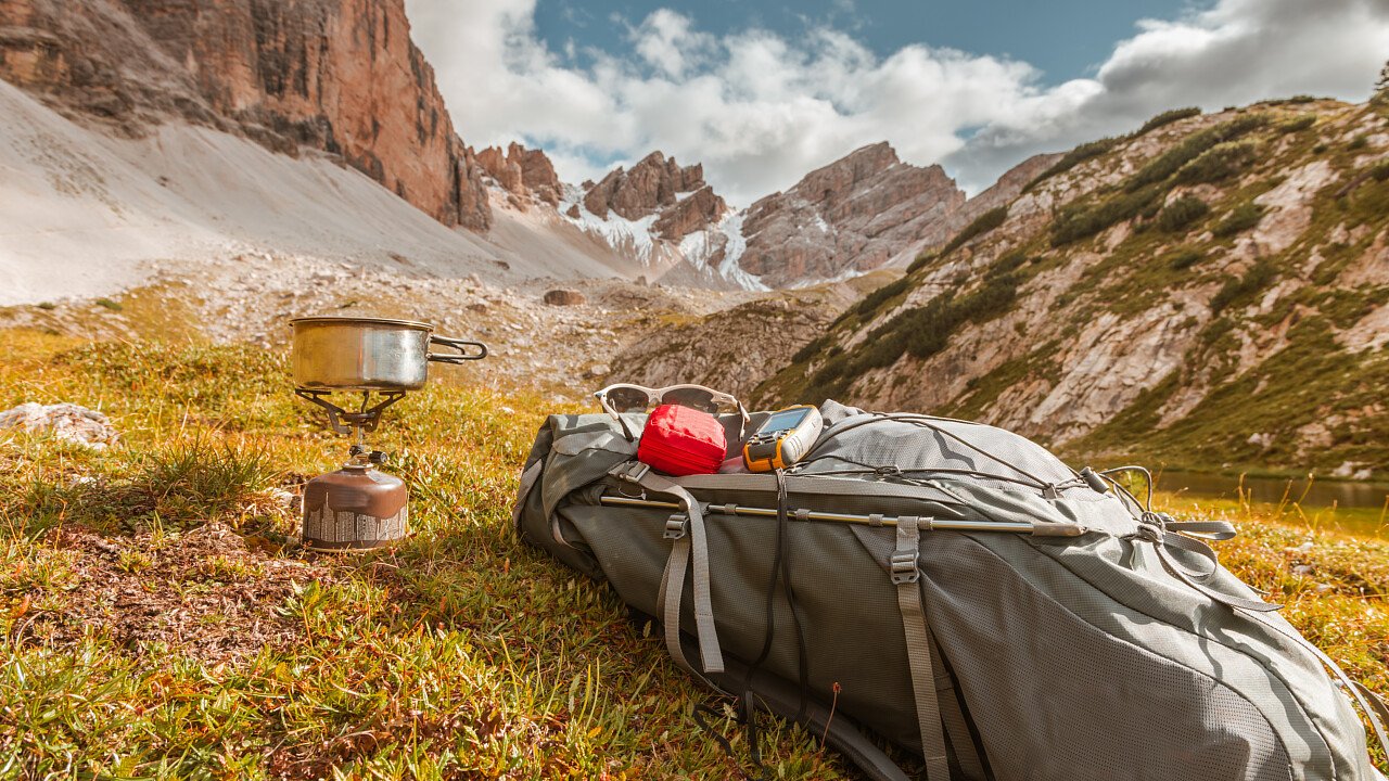
- Starting point: Rifugio Paolina 2125m
- Arriving point: Rifugio Paolina 2125m
- Height difference: 700 m
- Walk duration: 5.15 hours
- Difficulty: an itinerary along little roads, dirt roads or comfortable paths.
- Recommended period: July to October
- Access: a little under Passo di Costalunga, by chair lift to Rifugio Paolina
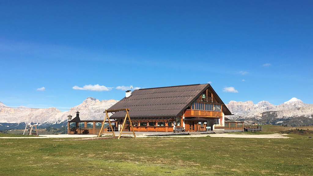
- Notes: Rifugio Paolina, Rifugio Fronza alle Coronelle, Rifugio Roda di Vaèl, Rifugio Pederiva, Rifugio Paolina.
From the refuge Paolina 2125 m follow the path 552 to the north, passing under the & quot; red wall & quot; Vaèl of Roda where the trail crosses the Masarè (marking 549) 2230 share (40 min.). With the latter salt is below the top of the fork to the refuge Fronza Coronelle to 2339 m (40 min.). It follows a stretch trail 542 to Passo Santner, rising a gully debris and snow from the top Coronelle and the Davoi ridge. It reaches up Coronelle 2630 m (30 min.). You go down in the Davoi Basin at the junction with the trail 541 (share in 2416, 30 min.). With the latter it goes right under the step and the ridge of Mugoni, and climb up to Passo Cigolade 2550 m (50 min). The falls on the gravel path under the walls of Mugoni and crosses the trail 551, which ignores (20 min.). It comes down to Roda shelters Vaèl and Pederiva 2280m (30 min.). With the path of Masarè (n. 549) go up a little to get around Punta del Masarè. It touches the monument to Christomannos 2349 m (20 min.) And the path 539 descend to Rifugio Paolina (30 min.).