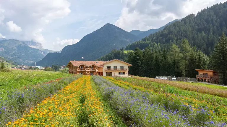
The Via Alpina is a network of five long‑distance hiking routes crossing eight Alpine countries, stretching for more than 5,000 km and divided into 340 stages. Four of these stages cross Trentino, specifically the Val di Fassa, at the foot of the majestic Dolomite massifs of the Sella, Marmolada and Catinaccio. The stages described below follow the Trieste–Munich direction, although they can also be walked in reverse.
Stage B22: Pordoi Pass – Contrin Hut
From Pordoi Pass, follow trail no. 601 / Dolomite High Route no. 2 towards Rifugio Fredarola. Continue along the panoramic Viel dal Pan trail to Rifugio Viel dal Pan. With the Marmolada directly in front of you, proceed to the connecting path leading to Porta Vescovo, where you turn right to descend towards Lake Fedaia and then Rifugio Castiglioni (trail 601). From here, continue on trail no. 605 to Rifugio Col Ciampiè and Hotel Viletta Maria. After a short stretch on asphalt, turn left and descend along a wide gravel path crossing woods, pastures and, at times, the main road. You then reach trail 602A, which climbs into Val Contrin and up to Rifugio Contrin.
Alternative route: From Rifugio Castiglioni, follow the dam to Rifugio Cima Undici, where trail 606 begins. This leads to Rifugio Pian dei Fiacconi (also reachable by cable car). Continue on trail 606 towards Gran Vernel and climb to Forcella Marmolada. Descend the southern slope—initially along a short equipped section, then across scree—until you reach Rifugio Contrin.
- Length: 16 km
- Time: 6 hours
- Ascent: 720 m
- Descent: 930 m
- Difficulty: medium
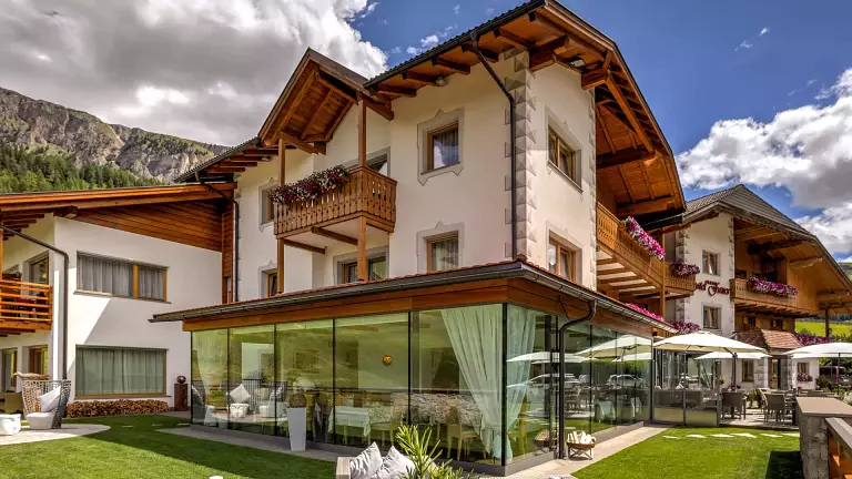
Points of interest: Great War Museum, La Sia (historic Venetian sawmill in Penia)
Stage B23: Contrin Hut – Fontanazzo
Trail no. 648 climbs from Rifugio Contrin to Passo San Nicolò and the mountain hut of the same name. Continue on trail no. 613 northwest across the Varos rocks, then descend to a grassy saddle. Following the eastern wall of the Croda Neigra, descend along the Forcia Neigra to the Ciampac basin and Rifugio Tobià del Giagher. Climb the opposite slope on trail no. 645 to Pian de Siele and into Val de Crepa. After passing several mountain huts, the trail descends to Fontanazzo, a hamlet of the municipality of Mazzin.
Alternative route: From the grassy saddle before Croda Neigra, continue straight on trail 613b. Follow the southern slope of Sas de Rocia along the equipped Lino Pederiva path until you rejoin trail 613 at Sella Brunech. Continue north along the grassy ridge on an unmarked path towards Crepa Neigra, eventually reaching Pian de Siele.
- Length: 15 km
- Time: 6 hours
- Ascent: 740 m
- Descent: 1,360 m
- Difficulty: medium
Points of interest: Campitello di Fassa, Ladin Museum, Pieve di San Giovanni, Monzoni Mineralogical Museum, Molin de Pèzol (historic watermill)
Stage B24: Fontanazzo – Antermoia Hut
From Fontanazzo, follow the mule track marked as trail no. 577, steep in places, towards the entrance of Val di Dona. After passing several huts, the trail joins route no. 580, which climbs from Mazzin through Val Udai, across the Camerloi meadows and up to Passo Dona. From here, it is a 20‑minute walk to Rifugio Antermoia.
- Length: 9 km
- Time: 4 hours
- Ascent: 1,150 m
- Descent: 40 m
- Difficulty: medium
- Points of interest: Lake Antermoia
Stage B25: Antermoia Hut – Bolzano Hut
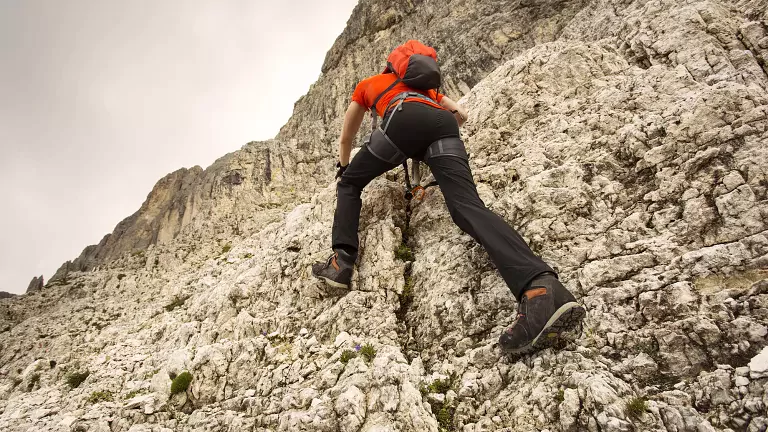
Follow trail no. 584 to Lake Antermoia. Keeping to the left shore, climb quickly to Passo Antermoia. Continue across the scree slopes beneath the Catinaccio d’Antermoia to reach Passo Principe and its mountain hut. At the end of Val di Vajolet, cross from the province of Trento into Bolzano and descend into the Busa del Principe. Continue through a narrow gorge and climb to Passo Molignon. A short section is equipped with a fixed rope. Shortly afterwards, you reach Rifugio Alpe di Tires, then continue northeast on trail no. 3 across the wide plateau of the Sciliar massif. After about 1.5 hours, you arrive at Rifugio Bolzano (2,450 m).
Alternative route: Although usually done in the opposite direction, it is possible to climb Catinaccio d’Antermoia via the eastern via ferrata and descend via the western one (trail 585). The ferrata branches off just before Passo Antermoia and follows an exposed ridge to the summit. The descent follows the same ridge southwards, then continues along ledges and gullies on the southern face back to Passo Principe.
- Length: 11 km
- Time: 5.5 hours
- Ascent: 820 m
- Descent: 860 m
- Difficulty: difficult
N.B. Before starting the itinerary, it is advisable to check the weather forecast and make sure the mountain huts are open and have availability.