 © Franco Melchiori | APT Valsugana
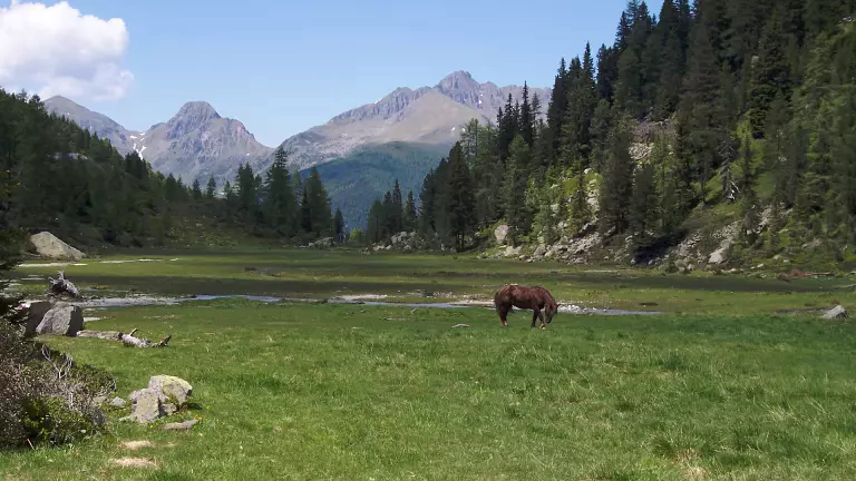
The Alta Via del Granito is a spectacular three‑day circular trek through the granite heart of the Cima d’Asta – Cime di Rava group in the Lagorai. This historic high‑route follows ancient paths and First World War military roads, linking the two mountain huts of the area and offering an immersive journey through wild alpine landscapes.
It is a demanding multi‑stage hike, recommended for well‑trained walkers equipped with proper mountain gear. The route is accessible from June to September and can be completed in either direction.
Recommended Maps
- Kompass 621 – Valsugana, Cima d’Asta (1:25,000)
- CAI–SAT Tesino – Cima d’Asta, Rava and Tolvà Group (1:25,000)
Stages
DAY 1 — Malga Sorgazza → Rifugio Caldenave
5 hours · 947 m ascent From Malga Sorgazza, follow trail 328 past Lake Costa Brunella to the Quarazza Pass. The route skirts the south‑eastern slopes of Cima Trento and climbs to Forzelon di Rava. A short ascent leads to Cimon Rava (2,436 m), offering superb views of the Cresta del Frate ridge.
Continue along trail 332B, an easy and panoramic traverse along the upper Val di Rava, reaching Forcella Ravetta. A steep descent on the northern side of Cima Caldenave leads through a small forest and across a wide peat bog before arriving at Rifugio Caldenave.
DAY 2 — Rifugio Caldenave → Rifugio O. Brentari
7 hours · 1,083 m ascent Descend from the hut, cross the stream and follow trail 360 to Forcella delle Buse Todesche, passing the characteristic lakes of Val dell’Inferno. Continue north along trail 373, traversing the eastern slopes of Cengello and Cima Lasteati, until reaching Forcella Magna, an important pass connecting Val Sorgazza with Val Cia.
Descend on trail 380 until the junction for Passo Socede (trail 380B, 2,516 m), where remnants of WWI trenches are still visible. From here, a short 15‑minute walk over granite slabs leads to Rifugio Brentari.
DAY 3 — Rifugio O. Brentari → Malga Sorgazza
2.5 hours From the hut, descend over the smooth granite slabs to the base of the cableway, then follow the mountain road back to Malga Sorgazza, completing the loop.
From the refuge, hikers can also climb Cima d’Asta (2,847 m) with an additional 370 m ascent (approx. 1 hour 15 minutes).
How to Get There
From the SS47 Valsugana road, after passing Borgo Valsugana, follow signs for Strigno and Tesino. Once in Pieve Tesino, continue toward Val Malene, Sorgazza and Cima d’Asta. After about 10 km, near Malga Sorgazza, you will find a car park — the starting point of the Alta Via del Granito.
Before setting out, always check weather conditions and the opening/availability of the mountain huts.