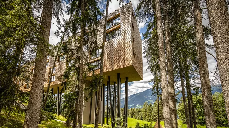
 © E.L.S. – Dolomiti.it
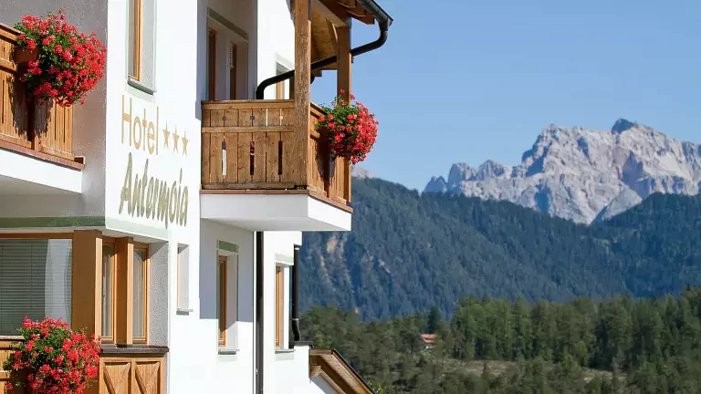
The circular hike on the Plose is one of the most scenic routes in the Bressanone area. From the village of Sant’Andrea in Monte, you can easily reach Valcroce by cable car, the ideal starting point to immerse yourself in the landscapes of the Dolomite High Route.
From Valcroce to Malga del Cavallo
From the mountain station, trail no. 17 leads southeast to the small chapel and then to the Plose road. Here you turn right, following the forest track that crosses gentle alpine meadows. At the junction, take trail 17A, which climbs towards Malga del Cavallo, passing the old hut and reaching the new one at 2,200 m. The view opens onto the Dolomites, and the hut is perfect for a refreshing break. Walking time: about 1 hour.
Towards trail no. 4 and the Gabler slope
Continuing east and northeast, the route crosses a ski lift and reaches the Schnatzgraben waterfall, where it connects with trail no. 4. This more technical section traverses the steep western slope of the Gabler; some rocky passages are secured with cables, making the route safe but more demanding.
From the Alpine pasture route to the Skihütte
Following trail no. 4 downhill, you reach the Alpine pasture route, where trail no. 8 branches off. A little further east lies the Enzianhütte (1,967 m), an excellent place to rest. Trail no. 8 then continues along the Almwirtschaftsweg westward to the Skihütte (1,900 m).
Return to Valcroce
From the Skihütte, trail no. 17 climbs back up to the high-altitude route and finally returns to Valcroce. From the Schatzer Hut, the return takes about 2 hours.