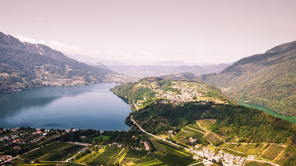
The Alta Via del Granito is a three-day ring route that develops on the Granite island of the Cima d'Asta group - Cime di Rava sul Lagorai and retraces ancient paths and military roads built during the First World War, linking the two shelters on the group. It is a difficult route, a panoramic tour in stages, along which there are resting and refreshment areas. The Alta Via del Granito is passable both clockwise and anticlockwise in the summer months, from June to September. Good training and normal mountain clothing are required.
Recommended topographic maps
- Kompass n 621 1:25000 Valsugana, Cima d'Asta (2847 qlm), Val dei Mocheni
- CAI SAT Tesino 1: 25000 Cima d'Asta (2847 qlm), gruppo di Rava e Tolvà
Stages
FIRST DAY
Malga Sorgazza to Caldenave Hut (5 hours / 947Mt)
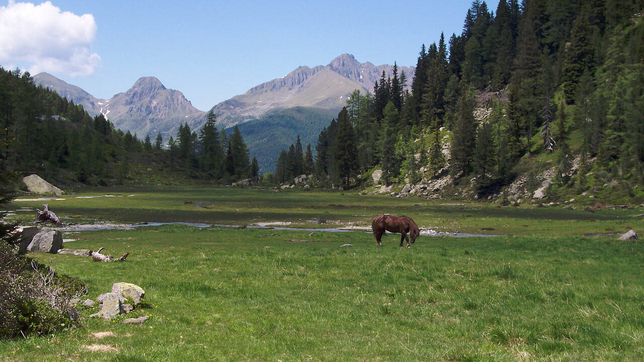
From Malga Sorgazza you take the path no. 328, after the lake Costa Brunella the route leads to the mountain pass Quarazza. Walk around the south-east top of Trento peak till the Forzelon di Rava. From Forzelon, there is a short and nice walk up to Cimon Rava (2.436 m) with a beautiful view on the mountain tops Cresta del Frate. From the mountain top you walk along path no. 332bis. It is an easy and panoramic walk along the highest points of the valley Val di Rava, reaching Forcella Ravetta. The path descends steeply along the northern side of the majestic Cima Caldenave, crossing a small forest and reaching the wide peat bog, a few minutes from the Caldenave refuge.
SECOND DAY
Caldenave Hut to O Brentari Hut (7 hours / 1083Mt)
From the Caldenave refuge you descent toward the plain, cross the river and begin to walk along path no. 360, which goes up to Forcella delle Buse Todesche, along the peculiar lakes of the valley Val dell’Inferno (literally Valley of the Hell). From here you walk the high path, towards north, along path no. 373, which sides the eastern sides of Cengello and of Lasteati peak. In this way you can reach Forcella Magna, an important mountain pass which connects Val Sorgazza with the northern part of Val Cia. From the mountain pass you walk down long path no. 380 till when you reach a deviation on the right hand side, towards Socede pass (path no. 380bis), at 2516 m. which you can read on some remains of a former war trench. From here, in 15 minutes, you can reach the Brentari refuge, walking on large granite stones.
THIRD DAY
O Brentari Hut to Malga Sorgazza (2,30 hours)
From the Brentari hut you walk down on the peculiar granite plates till the basis of the cableway. Finally, you reach Malga Sorgazza, walking along a mountain road, thus completing the ring-shaped route. From the refuge you can walk up to Cima d’Asta (2.847 m, with a height difference of 370 m, to be walked in 1 hour and 1/4).
How to get there and where to park
Getting there by car: from SS 47 of the Valsugana, exceeded Borgo Valsugana, follow the indications for Strigno and Tesino. Joints to Pieve Tesino follow the indications for the Val Malene (Malene Valley), Sorazza and Cima d’Asta. After 10 kilometres nearby Malga Sorazza there’s a parking. From here it begins l’Alta Via del Granito
N.B. Before starting the itinerary, it is advisable to find out about the weather and verify the opening of the shelters and their availability.