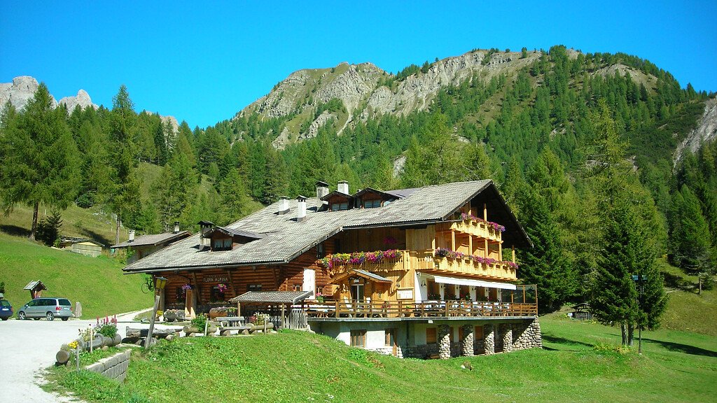
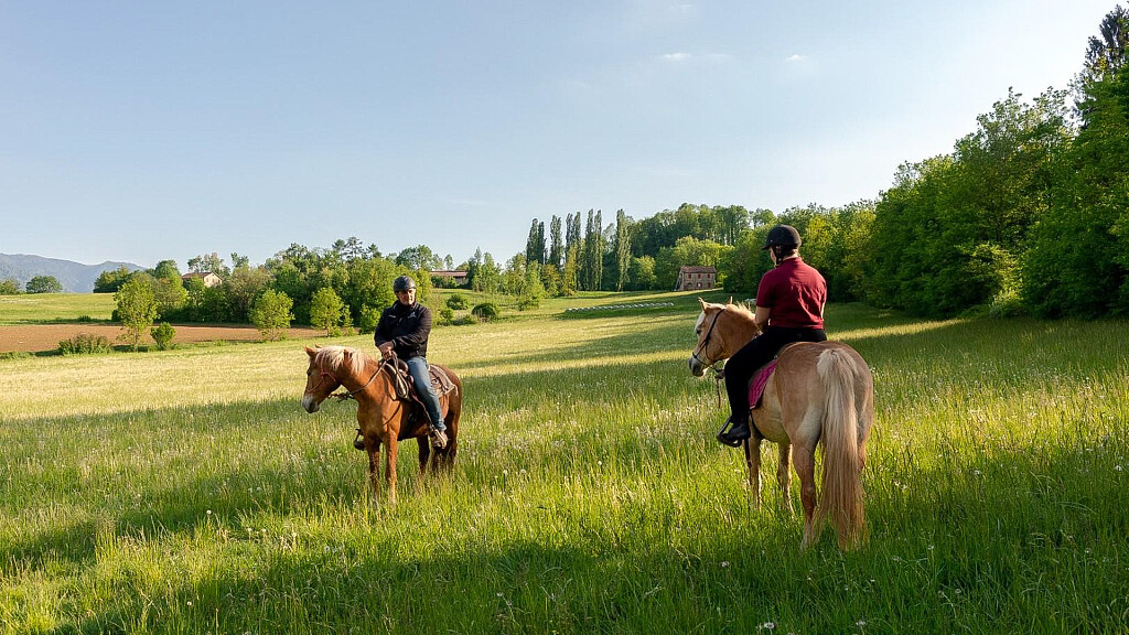
The Alpine Path of the Dolomites no. 5 is dedicated to the great venetian artist Tiziano Vecellio, who drew inspiration from the Marmarole to enrich the background of his pictures. And it is exactly on the Marmarole that a part of Alpine Path of the Dolomites no.5 unwinds. This path starts in Sesto, in the Three Peaks Dolomites, and ends in Pieve di Cadore, birthplace of the artist.
The path is long about 90 km, walkable in 7 stages, and can be divided into 3 parts, which corresponds to the main mountain groups you cross: first part, Croda dei Tòni and the Popèra; second part, the Marmaròle; third part, the Antelao.
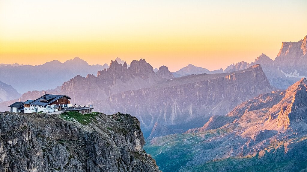
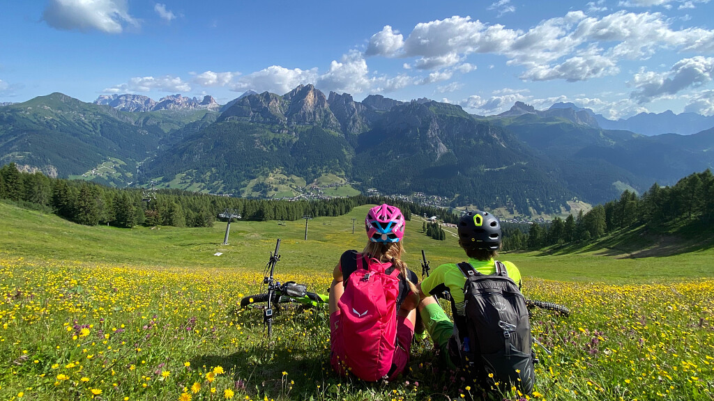
On the Croda dei Toni and on the Antelao the route follows trails that are not particularly difficult for a trained hiker and that are always well equipped in case of dangerous passages. Instead, however extraordinary and unique, the Marmarole present greater difficulty given by isolation, great difference in height and fog.
Alpine Path of the Dolomites 5: technical data
Path: Sesto (BZ) - Pieve di Cadore (BL)
Crossing time: 7 days
Trail Length: about 90 km
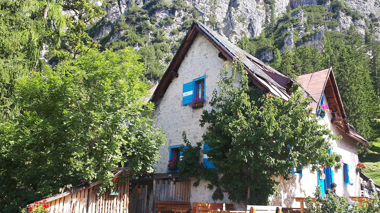
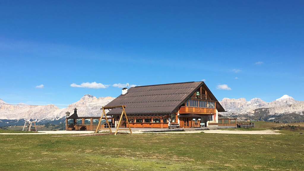
Shelters on the main route: 7
Bivouacs on the main route: 3
Restoration areas on the road: 3
Longest leg: from Tiziano hut to Musatti Bivouac and to Voltolina Bivouac - V stage – 9 hours
Shortest leg: from Carducci hut to Ponte da Rin, near Auronzo – II stage – 3 hours
Total crossing time: almost 38 hours
Difficulty: Trekking, Equipped Trekking
Total altitude difference uphill: about 5700 m
Total altitude difference downhill: about 6100 m
Maximum altitude difference uphill: 1152 m, from Ponte da Rin to Forcella Paradiso
Maximum altitude difference downhill: 1538 m, from Forcella Giralba to Ponte da Rin
Maximum trail altitude: Forcella Jau de la Tana, 2644 m
Minimum trail altitude: Auronzo di Cadore, 866 m
Dolomite groups along the way: 4
Opening period of the shelters: from June to September
Recommended period: from the end of June to the end of September
Signs: adequate everywhere
Alpine Path of the Dolomites 5: recommended topographic maps
Tabacco maps 1:25.000
- n.010 “Dolomites of Sesto”, from Sesto to Ponte da Rin
- n.017 “Dolomites of Auronzo and Comèlico”, from Ponte da Rin to Baión hut
- n.016 “Dolomites of Centro Cadore”, from Baión hut to Pieve di Cadore
Alpine Path of the Dolomites 5: stages
Stage 1: Sesto - Emilio-Comici hut - RCarducci hut
Hiking time: 3 hours and 15 minutes from the Fiscalina valley’s parking
Signs: no. SS52, n. 102, 103, 101, 103
- Alternative Route 1: Croda dei Tòni tour
- Alternative Route 2: Popèra tour and climb to the Croda Rossa
Stage 2: Carducci hut - Ponte da Rin near Auronzo
Hiking time: 3 hours
Stage 3: Ponte da Rin - Ciareido hut - Baion hut
Hiking time: 5 hours
Signs: no. 273, 272
- Alternative Route 3: Monte Agùdo with chair lift
- Alternative Route 4: Orsolìna di Auronzo - Val di Poorse
- Alternative Route 5: Orsolìna - Baión hut across the Val Baión - Fratelli Fanton Bivouac
Stage 4: Baion hut - Tiziano hut across the Jau de la Tana
Hiking time: 6 hours and 30 minutes
Signs: no. 262, 260, climbing “Sentiero degli Alpini”
- Alternative Route 6: Tiziano hut across the Val Baión, the Forcella Marmaròle and the Forcella Froppa
- Alternative Route 7: Baión hut - Tiziano hut across the Forcella Marmaròle and the Forcella Froppa
- Alternative Route 8: climb to the Cimón del Froppa
Stage 5: Tiziano hut - Musatti Bivouac - Voltolina Bivouac
Hiking time: 9 hours
Signs: no. 280, 278
Stage 6: Voltolina Bivouac - San Marco hut - Galassi hut
Hiking time: 4 hours and 30 minutes
Signs: no. 278, 280, 226, 227
- Alternative Route 9: climb to Antelao from the Galassi hut
Stage 7: Galassi hut - Antelao hut - Pieve di Cadore
Hiking time: from 7 hours to 7 hours and 30 minutes depending on the chosen route
Signs: no. 250, 258, 250, 250/253
N.B. Before starting the itinerary, it is advisable to find out about the weather and verify the opening of the shelters and their availability.


-tablet.jpg)