 © Shutterstock
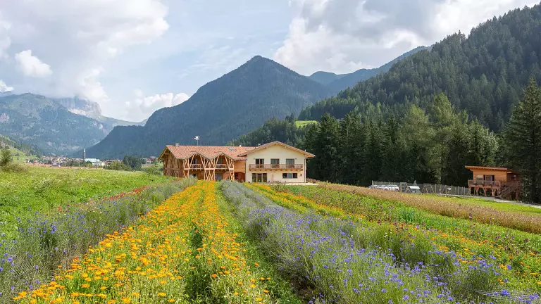
The Fiemme and Fassa Dolomites Cycle Path links two of Trentino’s most iconic valleys along a 48 km route that follows the banks of the Avisio river. It’s an ideal cycling itinerary for enjoying unspoilt nature, riding through green meadows, pastures, streams and traditional mountain farms. The route starts in Molina di Fiemme and reaches Alba di Canazei, but cyclists who prefer a gentle downhill ride can choose to start in Alba and finish in Molina. This medium‑difficulty cycle path can be completed in 3–4 hours and is also suitable for families. It connects with two major routes: the Sellaronda and the Bolzano–Ferrara cycle path.
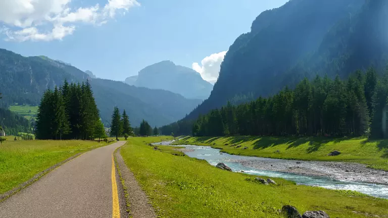
The cycle path begins south of Molina di Fiemme, on the left bank of the Avisio, crossing the river via a footbridge before climbing gently towards Predazzo. Near the locality of Cascata, riders can stop to admire the powerful Rio Val Moena waterfall, a refreshing spot especially in summer. The route continues with gentle ups and downs through woodland, passing the Cermis cable car valley station and the hamlet of Masi di Cavalese.
Further along, the path reveals traces of the former narrow‑gauge railway: a steady gradient, iron bridges, pylons and old abandoned stations. Much of today’s cycle path follows the original railway embankment.
The route reaches Lago di Tesero and the Cross‑Country Ski Centre, which offers services and bike assistance—an excellent support point for those riding the full itinerary. Continuing towards Ziano di Fiemme, cyclists cross one of Trentino’s few remaining covered wooden bridges. The path winds through fields and pastures to Zanolin and then follows the old railway line to Predazzo, before heading towards Moena.
Back along the river, the route enters the narrow valley leading to Forno, where the Val di Fassa cycle path begins—one of the most scenic stretches in the region. Several footbridges cross the Avisio before reaching Moena. After crossing the village centre, the path rejoins the main cycle route near the minigolf area. The descent towards Soraga offers stunning views of the valley framed by the Sella and Pordoi peaks.
Beyond Soraga, the path continues through meadows and woodland towards Pozza di Fassa, reaching the village centre on a municipal road. From Pozza, the route heads to Pera di Fassa, where the climb to Mazzin begins. Following the Avisio river, cyclists reach the Col Rodella cable car station in Campitello di Fassa, then take the Cercenà forest road to Canazei.
At the end of the route, riders can return to the starting point using public buses or the Bike Express Fassa–Fiemme shuttle service.
The best seasons to enjoy the cycle path are late spring, summer and autumn. In winter, the route is converted into a cross‑country ski trail.
Start: Molina di Fiemme
Finish: Pozza di Fassa
Surface: Asphalt, gravel
Average gradient: 5%
Maximum gradient: 8%
Type: Shared cycle–pedestrian path
Traffic: Limited; mixed in village crossings