Starting point: Piazzola – Val di Rabbi (Trentino)
Area: Stelvio National Park
Two hiking proposals – one suitable for 1–2 days and one for 3 days – to fully experience the wild beauty of Val di Rabbi, exploring waterfalls, glacial meadows and historic mountain huts such as Rifugio Dorigoni and Rifugio Lago Corvo.
ITINERARY A
Saènt Loop and Rifugio Dorigoni
Duration: 1–2 days
Elevation gain: 1088 m
Start/Finish: Piazzola – Somrabbi
First Stage – Towards the Saènt Waterfalls and Rifugio Dorigoni
From Piazzola, follow the road through Somrabbi to the Fontanino di Rabbi and continue to Coler and the parking area of Malga Stablasolo (1539 m). The hike begins on trail 106, climbing to the Dosso della Croce (1796 m) and then to the wide basin of Prà di Saènt, one of the valley’s most iconic landscapes. The trail continues across alpine pastures and glacial terrain until reaching Rifugio Dorigoni.
Second Stage – Return via Campisol and Malga Stablet
From the hut, descend along trail 128 to Rifugio Campisol (2123 m). Continue towards Malga Stablet and then back to Malga Stablasolo following trail 106. The final stretch along the forest road leads back to Piazzola.
ITINERARY B
3-Day Trek: Lago Corvo, Monte Collecchio and Saènt
Duration: 3 days
Elevation gain: +1635 m / –1122 m
Start/Finish: Piazzola (1315 m)
First Stage – From Piazzola to Rifugio Lago Corvo
From Piazzola, climb to the hamlet of Cavallar, where trail 108 (part of the Sentiero Italia) begins. The route passes Malga Paludè/Caldesa bassa (1832 m) and Malga Paludè/Caldesa alta, or alternatively follows the valley of the Rio Val Lago Corvo, reaching Rifugio Lago Corvo. A visit to the nearby Lago Corvo lakes, home to the rare alpine char, is highly recommended.
Second Stage – From Lago Corvo to Rifugio Dorigoni
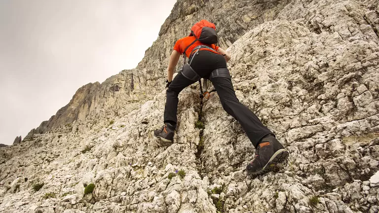
From the hut, follow trail 145, climbing through rocky basins and scree slopes to the shoulder of Monte Collecchio (2954 m), a superb viewpoint over the upper Saènt valley. Descend to the Giogo Nero Pass (2825 m) and continue along trail 107, a long panoramic traverse leading to Rifugio Dorigoni.
Third Stage – Descent to Saènt and Return to Piazzola
From the hut, descend on trail 106, crossing alpine meadows shaped by ancient glaciers. The route passes Prà di Saènt, climbs briefly to the Dosso della Croce, and reaches Malga Stablasolo, where refreshments are available. A final 5 km on the forest road bring you back to Piazzola.