Cima del Colbricon is one of the most fascinating peaks of the Lagorai Range, a mountain where the rugged beauty of porphyry rocks meets the intense colours of alpine lakes. The route is demanding but incredibly rewarding, perfect for experienced hikers seeking an authentic and untamed mountain experience.
From the Colbricón Lakes to the high passes of the Lagorai
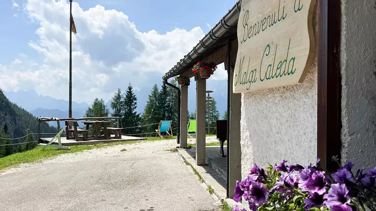
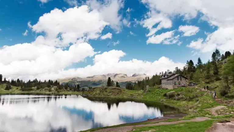
The hike begins near Passo Rolle, from where you quickly reach the enchanting Colbricón Lakes, nestled among larch and spruce forests. The atmosphere is already unmistakably Lagorai: silence, untouched nature and wide open spaces.
From the lakes, the trail climbs toward Passo Colbricón, entering increasingly open and rocky terrain. The route continues toward Forcella Ceremana, offering sweeping views over the porphyry ridges and the valleys below.
The final stretch to the summit
Beyond the pass, the trail leads to Forcella Colbricón, a surprising high plateau with a small alpine lake. Here begins the most challenging section: a steep ascent with easy grade‑I scrambling, never too exposed but requiring attention and sure footing.
The effort is rewarded at the summit of Cima del Colbricon (2602 m), a natural balcony overlooking the entire Lagorai chain, Passo Rolle, the Pale di San Martino and, on clear days, much of eastern Trentino.
Return along the same route
The descent follows the ascent route, allowing you to enjoy once again the wild landscapes of the Lagorai and the reflections of the Colbricón Lakes.
Technical details
- Highest point: 2602 m
- Elevation gain: approx. 820 m
- Distance: approx. 11–12 km
- Walking time: 5–7 hours depending on pace
- Difficulty: EE – for experienced hikers (steep sections and grade‑I scrambling)
- Ideal for: trained hikers, lovers of wild landscapes, mountain photographers