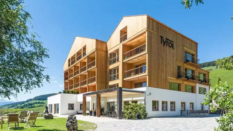
 © Harald Wisthaler
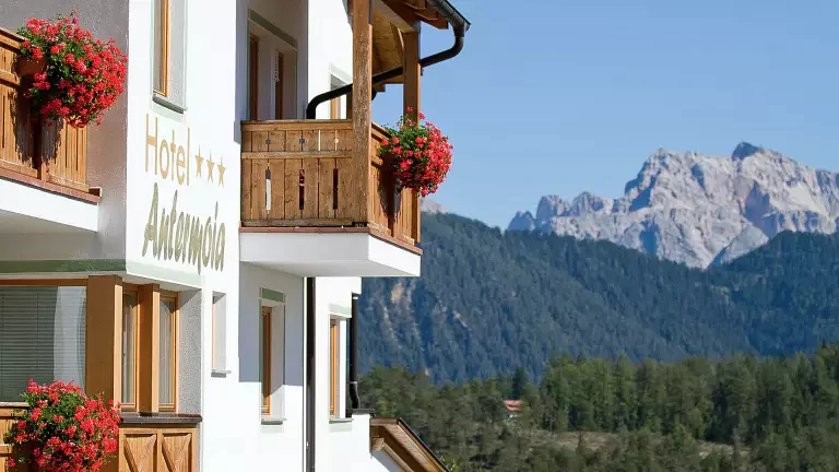
 © Alex Moling
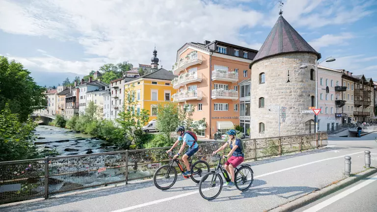
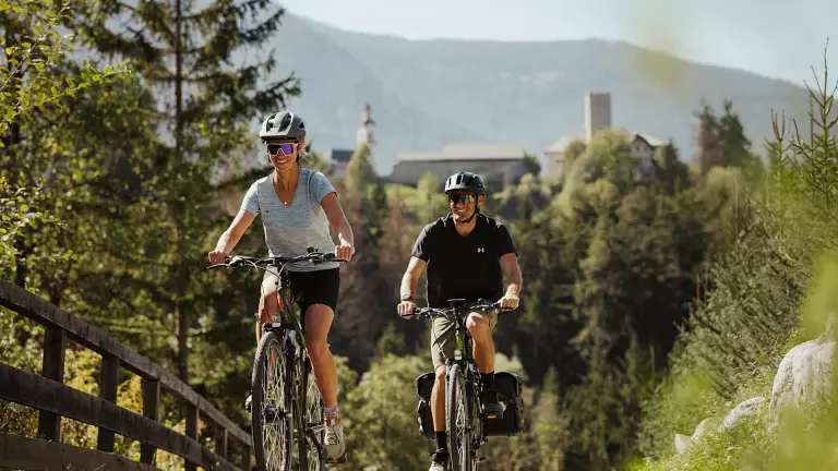
The Val Pusteria cycle path runs along the Rienza and Drava rivers from Rio Pusteria to Lienz in Austria, passing through Brunico and San Candido. It links Val Pusteria with the Isarco Valley and features gentle ups and downs along the way. The entire route is 105 km long.
There are numerous rest areas with tables and benches scattered along the path, ideal for taking a break, having a snack, and relaxing in the heart of nature.
For those who prefer not to cycle the return route, a train service is available, allowing you to load your bike and travel back effortlessly.
The paved cycle path starts in Rio Pusteria–Mühlbach and leads through the villages of Vandoies di Sotto–Niedervintl, Vandoies di Sopra–Obervintl, Chienes–Kiens, Casteldarne–Ehrenburg and San Lorenzo–St. Lorenzen before reaching Brunico–Bruneck. This first section is very flat and 25.5 km long.
From Brunico, the route continues through Perca–Percha, Valdaora di Sotto–Niederolang, Valdaora di Mezzo–Mitterolang, Valdaora di Sopra–Oberolang, Ried, Villabassa–Niederdorf and Dobbiaco–Toblach before arriving in San Candido–Innichen. This second section is also very flat, 33.5 km long, and suitable for everyone.
The third section leads from San Candido through Versciaco–Vierschach to Prato alla Drava–Winnebach, where you cross the Italian–Austrian border. From here, the route follows the Drava River all the way to Lienz. This final section is 44 km long, very easy, and ideal for families. For the return journey, you can take the train back to the starting point. If the full distance feels too long, you can cycle only part of the route and cover the rest by train.