 © Brunico Kronplatz Turismo
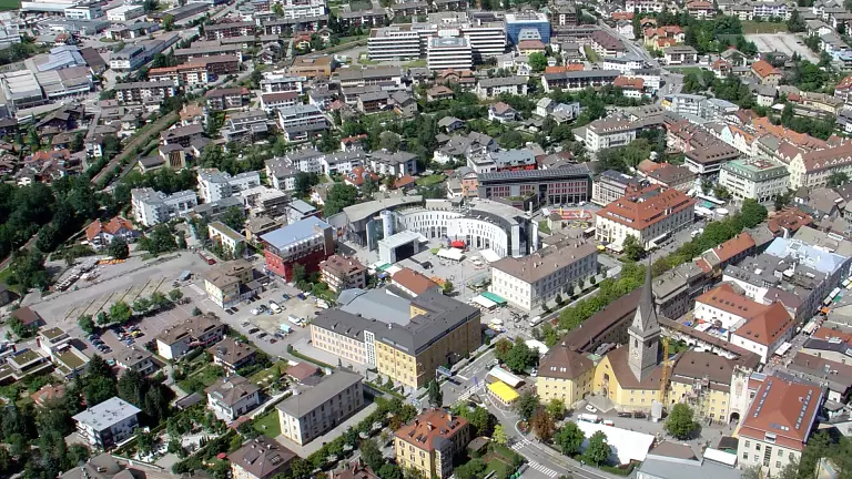
The cycle path of the Tures and Aurina Valleys is a beautiful route that reveals this enclosed valley at the far northern edge of South Tyrol, right next to the Austrian border. Depending on the direction of travel, the route can be easy or challenging. Starting from Brunico, the path climbs steadily and reaches 1,600 m. Conversely, starting from Casere towards Campo Tures, the route is extremely easy as it is entirely downhill.
The cycle path is about 42 km long. It begins at the Brunico bus station. You follow the road towards Campo Tures; shortly after leaving the town centre, the cycle track begins and continues to San Giorgio. From here, a small country road leads to Gais. In Gais, the route continues along the Aurino river towards Villa Ottone. From there, the cycle path proceeds to Caminata di Tures, a section particularly suitable for families.
From Caminata there are several options to reach Campo Tures: crossing the village along the main road; taking the road on the right side of the river up to San Maurizio, from where you can admire Tures Castle. Continuing on the left side, the first climb begins, followed by a descent leading to the Speikboden lift facilities. From here, a series of gentle ups and downs leads to Lutago in the Aurina Valley, following the road on the right side of the Aurino river.
From Lutago, the route continues to San Martino. Here you join the main road until the junction with a small side road on the right that leads to San Giovanni. At the church, take the small road that crosses the bridge and reaches Cadipietra. Continue briefly on the main road, then join the new section of the cycle path that leads to San Pietro. Continue along a narrow mountain road to Predoi and, after one last climb, to Casere.
The best time to ride the Tures and Aurina Valleys cycle path is from May to September.
Start: Brunico
Finish: Campo Tures, Casere
Surface: mostly asphalt, some gravel on country roads
Maximum gradient: 7%
Average gradient: 0.5%
Type: protected cycle path
Traffic: mixed