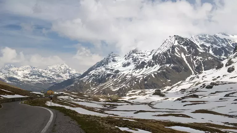
At approximately 2,758 metres above sea level, the Stelvio Pass is the highest paved mountain pass in Italy and one of the highest in the Alps. Located in the heart of the Stelvio National Park, it connects Valtellina and Bormio in Lombardy with the Val Venosta Valley in South Tyrol. The nearby Umbrail Pass also provides access to Switzerland and the Val Müstair valley.
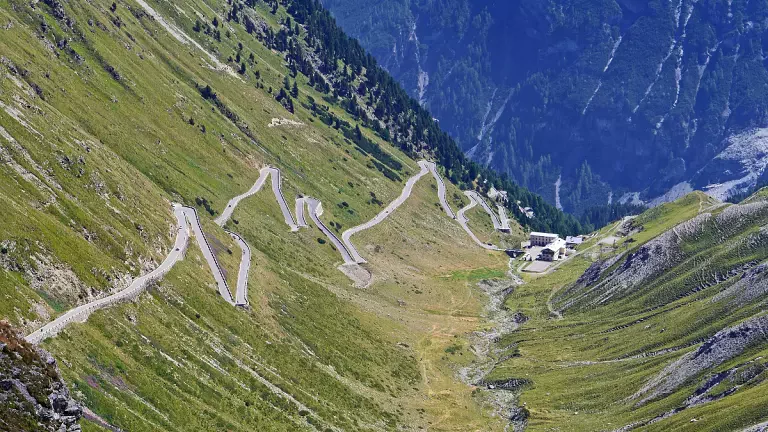
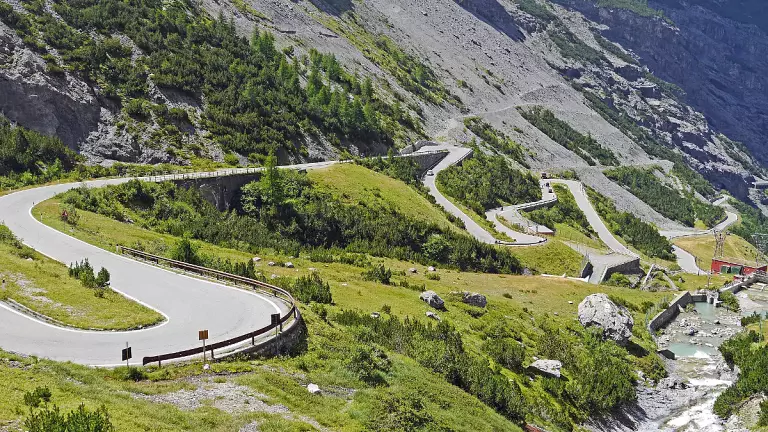
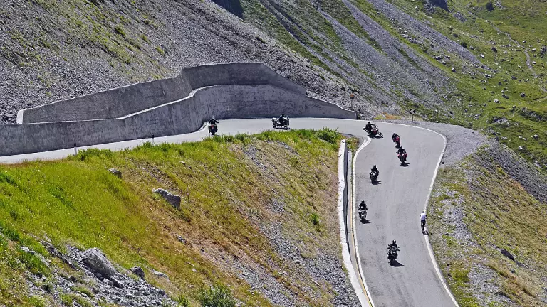
The Stelvio Pass is one of the most spectacular destinations in the Alps for those travelling by car, motorbike or bicycle. The famous mountain road offers panoramic views of the Ortler-Cevedale mountain range and a succession of hairpin bends that has become an icon of international cycling.
Where is the Stelvio Pass?
The Stelvio Pass is located between Lombardy and South Tyrol, within Stelvio National Park.
The main access routes are:
- from Bormio, in Alta Valtellina, via the Lombardy side;
- from Prato allo Stelvio, in the Val Venosta Valley, via the South Tyrol side;
- from Santa Maria Val Müstair, in Switzerland, via the Umbrail Pass.
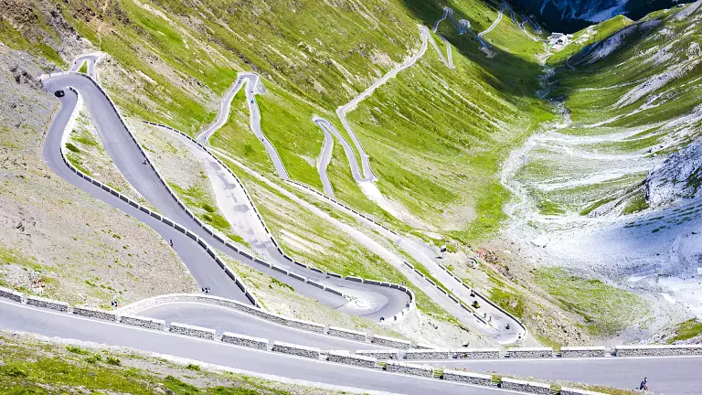
The South Tyrol side is famous for its 48 hairpin bends, while the climb from Bormio offers an equally scenic and challenging route.
Before setting off, it is advisable to always check pass opening status, weather conditions and road conditions, as this is a high-mountain road whose accessibility is affected by the weather.
What to do at the Stelvio Pass
The Stelvio Pass is an ideal destination for lovers of mountains and outdoor activities.
It is particularly popular with cyclists, who take on the challenging climbs from Bormio and the Val Venosta Valley. The Stelvio Pass is also closely linked to the history of the Giro d'Italia and is considered one of the most iconic climbs in international cycling.
The Stelvio Glacier is well known for summer skiing and is home to an important high-altitude ski area. The opening of the lifts and slopes depends on glacier and weather conditions.
The surrounding area is also ideal for hiking and trekking. The trails of Stelvio National Park allow visitors to discover high-altitude landscapes, glaciers, valleys and a rich variety of Alpine flora and fauna.
The Stelvio Pass road
The Stelvio Pass Road is one of the most famous feats of road engineering in the Alps. Designed by engineer Carlo Donegani, it was built to connect Lombardy with the Val Venosta Valley.
On the South Tyrol side, the road climbs from Prato allo Stelvio through 48 hairpin bends to the pass, offering spectacular views of the surrounding mountains. The route from Bormio is also scenic and challenging.
In winter, the road is generally closed due to snow and weather conditions. Before travelling to the pass, it is therefore always advisable to check road conditions, accessibility and weather forecasts.
The Stelvio Pass and the First World War
The Stelvio area preserves important traces of the First World War. The mountains of the Ortler-Cevedale range were the scene of the so-called White War, fought at extremely high altitude between Italian and Austro-Hungarian troops.
The history of the pass and its road can be explored at the Carlo Donegani Historical Museum, dedicated to the construction of the road, the history of the pass and the First World War.
Useful information about the Stelvio Pass
Altitude: 2,758 metres above sea level
Location: between Lombardy and South Tyrol, in Stelvio National Park
Main access routes: Bormio, Prato allo Stelvio and Umbrail Pass
Nearby destinations: Bormio, Trafoi, Prato allo Stelvio and Val Venosta
Activities: cycling, motorcycling, hiking, summer skiing and scenic sightseeing