A panoramic itinerary across high‑altitude alpine meadows, crystal‑clear mountain lakes, and the scenic ridgelines of the Skirama Dolomiti Adamello‑Brenta area.
This summer trek crosses some of the most captivating landscapes between Val di Sole and Madonna di Campiglio, following the ridges that in winter host the slopes of the Skirama ski area. It is ideal for hikers seeking a medium‑difficulty route with wide‑open views, alpine lakes, and an overnight stay in a mountain hut.
Stage 1 – From Marilleva 1400 to Rifugio Orso Bruno
Elevation gain: approx. 600 m Average time: 2.5–3 hours (less if using the cable car)
From kilometre 8 of the road leading to Marilleva 1400, the route begins along SAT trail 237, climbing through the forest until it meets trail 201. The path continues toward Malga Panciana (1886 m), a panoramic spot perfect for a break.
Those wishing to shorten the ascent can reach Malga Panciana via the Copai–Panciana cable car from Marilleva 1400 (check opening times with Funivie Folgarida‑Marilleva – Tel. +39 0463 988400).
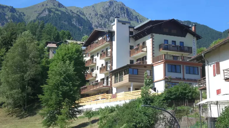
From Malga Panciana, trail 201 follows the line of the ski slope up to Rifugio Orso Bruno, where the overnight stay is planned. The hut sits on the ridge between Val di Sole and Madonna di Campiglio, offering spectacular sunset views over the Brenta Dolomites.
Stage 2 – From Orso Bruno’s panoramic ridge to the alpine lakes and return
Total time: 4–5 hours (depending on the chosen return route)
From the hut, the trail descends toward Madonna di Campiglio, crossing the Bassetta della Viga along trail 201 until the junction near the old malga close to Lake Malghette (1900 m).
The route then climbs through the forest to the basin of Lake Alto (about 1h10), a quiet and pristine alpine setting. Continuing along trail 267, the path reaches the beautiful plateau of the Tre Laghi (2257 m), one of the most scenic points of the entire hike.
A short, steeper section leads to a rocky saddle, from which the trail descends into the basin of Lake Scuro. Here the path splits:
- Right: ascent toward Rifugio Agostini (for experienced hikers only).
- Left: descent to Bait dei Cacciatori and return to Lake Malghette, where the lakeside hut-bar is located.
Return options
1) Return to Marilleva 1400
- Climb back to Bassetta della Viga (45’)
- Continue to Rifugio Orso Bruno and descend to Marilleva 1400 (1h)
2) Arrival at Passo Campo Carlo Magno
- Descend from Lake Malghette to the valley road
- Follow the upper trail to Passo Campo Carlo Magno (1h30)
- Return by private vehicle or bus to Mezzana