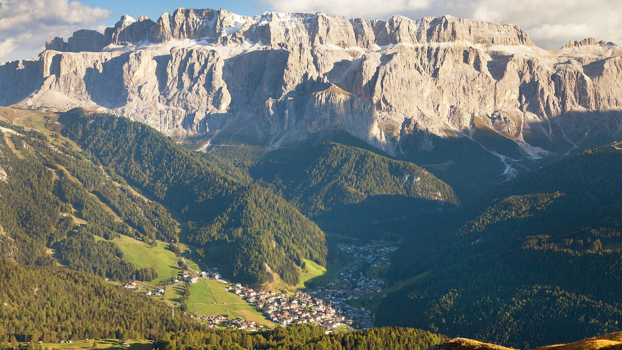
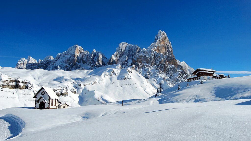
This Alpine Path of the Dolomites no. 2 unwinds along ridges, between the Isarco and Piave Rivers. It goes from the northern tips of the Dolomites to the Pre-Alps that overlook the Venetian plain and it connects two wonderful alpine towns: Bressanone and Feltre. This route goes through three provinces - Bolzano, Trento and Belluno - and eight chains of the Dolomites. This long route, which takes about two weeks, can be undertaken by experts who are well trained and have a good sense of direction and a minimum knowledge of mountaineering technique.
The "via delle leggende" ("legend route") starts from the vicinity of the Plose Group - Dolomites of Bressanone - and crosses Poma, Gardena, Pordoi, S. Pellegrino and Cereda Passes. Here begins the last part of this route: the great traverse of the Dolomites of Feltre.
Notes: this route is suggested to trained excursionists, who do not suffer from vertigo and have a good sense of direction. A minimum knowledge of mountaineering is reqired in order to afford some difficult stretches.
Technical data
Start Location: Brixen (BZ)
End Location: Feltre
Crossing time: 13 days
Trail Length: about 180 km
Shelters on the main route: 14
Bivouacs on the main route: 2
Restoration areas on the road: 15
Longest leg: from Feltre Bivouac to Dal Piaz hut – 11th leg, crossing time - 9 hours
Shortest leg: from Treviso hut to Cereda Pass – 9th leg, crossing time – 4 hours and 30 minutes
Total crossing time: almost 80 hours
Difficulty: from easy to challenging
Total altitude difference uphill: about 11,300 m
Total altitude difference downhill: about 11,200 m
Maximum altitude difference uphill: 1150 m, from San Pellegrino Pass to Mulaz – 7th leg
Maximum altitude difference downhill: 1550 m, from Rosetta hut to Treviso hut – 8th leg
Maximum trail altitude: Farangole pass, 2932 m
Minimum trail altitude: Feltre, 324 m
Dolomite groups along the way: 8 (Plose, Putia, Odle, Puez, Sella, Marmolada, Pale di San Martino, Vette Feltrine)
Opening period of shelters: from June to September
Recommended period: from the end of June to the end of September
Signs: adequate everywhere
Recommended topographic maps
Map Tabacco 1:25.000
- n.030 “Bressanone/Brixen-Val di Funes/Vilnöss”, from Brixen to Puez mountain hut
- n.07 “Alta Badia-Arabba-Marmolada”, from Rodella Pass to Malga Ciapela
- n.015 “Marmolda-Pelmo-Civetta-Moiazza”, from Pordoi Pass to San Pellegrino Pass
- n.06 “Val di Fassa e Dolomiti Fassane”, from Malga Ciapèla to Valles Pass
- n.022 “Pale di San Martino”, from Valles Pass to Bruno Boz hut and Le Vette
- n.023 “Alpi Feltrine-Le Vette-Cimónega”, from Bruno Boz hut to Feltre
Stages
Stage 1: Brixen - Città di Bressanone hut
Total altitude difference: 1900 m uphill from Bressanone, 435 m from Valcroce, 150 m from the ski lift
Lenght of the trail: about 27 km
Hiking time: 6 hours and 30 minutes; 1 hour and 30 minutes from Valcroce
Signs: no. 4-5 and 17 from Brixen; no. 7 from Valcroce
Difficulty: Hiking
Stage 2: Città di Bressanone hut - Genova hut
Total altitude difference: 500 m (uphill), 650 m (downhill)
Lenght of the trail: about 15 km
Hiking time: 5 hours
Signs: no.4
Difficulty: Hiking with easy and short equipped stretch
- Alternative Route 1: from Kreuz valley to the Schlüter hut
Stage 3: Genova hut - Puez hut
Total altitude difference: 850 m (uphill), 670 m (downhill)
Lenght of the trail: about 15 km
Hiking time: 6 hours
Signs: no. 3 and 2
Difficulty: Trekking with short equipped stretch
- Alternative Route 2: from the Schlüter hut to Puez hut through the Geisler way
- Alternative Route 3: from Fùrcia dla Róa on secured walking and climbing trails
Stage 4: Puez hut - Franco Cavazza al Pisciadù hut
Total altitude difference: 570 m (uphill), 460 m (downhill)
Lenght of the trail: about 10 km
Hiking time: 5 hours
Signs: no. 2 and 666
Difficulty: Trekking with short equipped stretch
- Alternative Route 4: from Grödner Pass to Pisciadù hut through the Tridentina-Klettersteig (fixed rope route)
Stage 5: Pisciadù hut - Castiglioni alla Marmolada hut
Total altitude difference: 750 m (uphill), 1280 m (downhill)
Lenght of the trail: about 19 km
Hiking time: 6-7 hours
Signs: no. 666, 647, 627, 601
Difficulty: Trekking with short equipped stretch
- Alternative Route 5: from the Castiglioni hut to the San Pellegrino Pass through the Marmoladascharte (col) (and via the peak of Marmolada)
Stage 6: Castiglioni alla Marmolada hut - San Pellegrino Pass
Total altitude difference: 1100 m (uphill), 1200 m (downhill)
Lenght of the trail: about 9 + 16 km
Hiking time: 2 + 5 hours
Signs: no. 610, 689, 694, 670, 607 and paved road
Difficulty: Touristic and Hiking
Stage 7: San Pellegrino Pass - Volpi al Mulaz hut
Total altitude difference: 1100 m (uphill), 500 m (downhill)
Lenght of the trail: about 14 km
Hiking time: 7 hours
Signs: no. 658 and 751
Difficulty: Trekking with short equipped stretch
Stage 8: Volpi al Mulaz hut - Pedrotti alla Rosetta hut
Total altitude difference: 760 m (uphill), 750 m (downhill)
Lenght of the trail: about 8 km
Hiking time: 5 hours
Signs: no. 703
Difficulty: Trekking, climbing on the Sentiero delle Farangole path
- Alternative Route 6: from Mulàz hut to Rosetta hut through the Rolle Pass, the Sentiero del Cacciatore (path) and Col Verde
Stage 9: Rosetta hut - Pradidali hut - Treviso hut
Total altitude difference: 720 m (uphill), 1600 m (downhill)
Lenght of the trail: about 14 km
Hiking time: 7 hours
Signs: no. 702, 715, 709, 711, 707
Difficulty: Trekking and climbing
- Alternative Route 7: from the Rosetta hut to the Treviso hut through the Malga Canali
Stage 10: Treviso hut - Cereda Pass
Total altitude difference: 1150 m (uphill), 900 m (downhill)
Lenght of the trail: about 10 km
Hiking time: 4 hours and 30 minutes
Signs: no. 718
Difficulty: Trekking
Stage 11: Cereda Pass - Feltre Walter Bodo Bivouac - Bruno Boz hut
Total altitude difference: 1200 m (uphill), 600 m (downhill)
Lenght of the trail: about 14 km
Hiking time: 6 hours and 30 minutes
Signs: no. 801
Difficulty: Trekking and climbing along the Intaiada and Troi dei Caserìn paths
Stage 12: Boz hut - Dal Piaz hut
Total altitude difference: 900 m (uphill), 650 m (downhill)
Lenght of the trail: about 15 km
Hiking time: 7 hours
Signs: no. 801
Difficulty: Trekking and climbing
Stage 13: Dal Piaz hut - Croce d’Aune - Feltre
Total altitude difference: 980 m downhill to Croce d'Aune, 1670 m to Feltre
Lenght of the trail: about 19 km
Hiking time: 6 hours up to Feltre
Signs: no. 801 and paved road
Difficulty: Touristic and Hiking
N.B. Before starting the itinerary, it is advisable to find out about the weather and verify the opening of the shelters and their availability.

