 © Pexels | Pixabay
Easy yet majestic high‑altitude hike: from Acereto to the huts of Riva di Tures
Starting point: Gasteigerhof/Acereto/Ahornach car park (1,574 m)
At a glance: Gasteigerhof – Stockerhof – Lobiser Schupfen – Dura Alm – Riva di Tures/Rein in Taufers
Highest point: Upper Dura Alm (2,211 m)
Elevation gain: 637 m
Difficulty: four‑boot hike
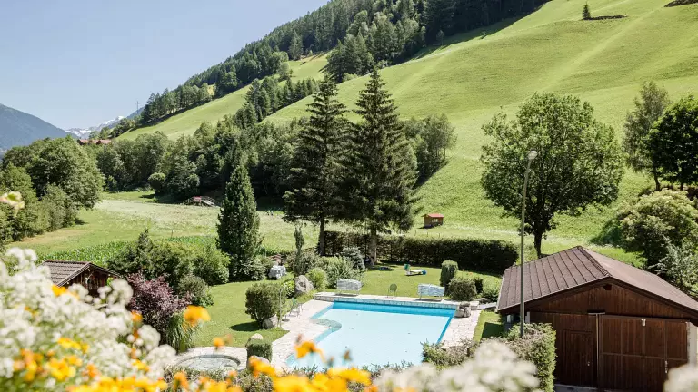
This long but easy high‑altitude hike unfolds along the sunny slopes above Riva di Tures/Rein in Taufers and the Valle dei Dossi/Knuttental, alternating between shaded woodland and open mountain pastures. The trail offers wonderful views of the Rieserferner glaciers, and from early summer the area is filled with an impressive variety of alpine flowers. Halfway along the route, it is possible to end the hike in Riva di Tures. Recommended equipment: mountain clothing, sturdy hiking boots, snacks.
Itinerary
From Campo Tures/Sand in Taufers, follow the road to Acereto/Ahornach and park near the Gasteigerhof (1,574 m). From here, continue on foot along trail no. 10 towards the Stockerhof (1,642 m), then follow the forest road eastwards to the mountain meadows at around 1,780 m.
A long, gentle walk through conifer woods leads to the Lobiser Schupfen, a group of ten picturesque barns at about 1,950 m. From here, an early descent to Riva di Tures is possible.
The panoramic high‑altitude trail (no. 1A) begins at the barns, crossing gentle grassy slopes and leading first to the Mittermayeralm, then to the Palù/Moosmayeralm, the Irba/Hirberalm and finally to the Upper Dura Alm (2,211 m). A short ascent brings you to the Dura Alm (2,096 m), where the high‑altitude section ends and refreshments are available.
From the last hut, descend along trail no. 1 through a stone pine forest towards the Valle dei Dossi/Knuttental, then follow the valley road for a short stretch to reach Riva di Tures/Rein in Taufers.
Maps:
Freytag & Berndt, sheet 152 (Mayrhofen – Zillergrund – Valle Aurina)
Kompass, sheet 82 (Valli di Tures e Aurina)