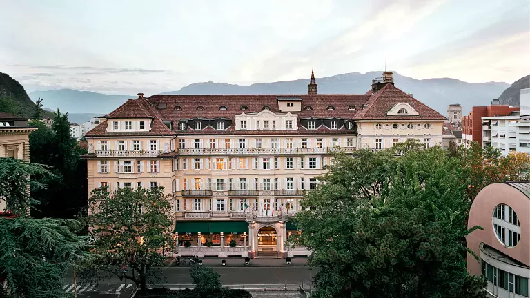
 © Azienda di Soggiorno e Turismo Bolzano
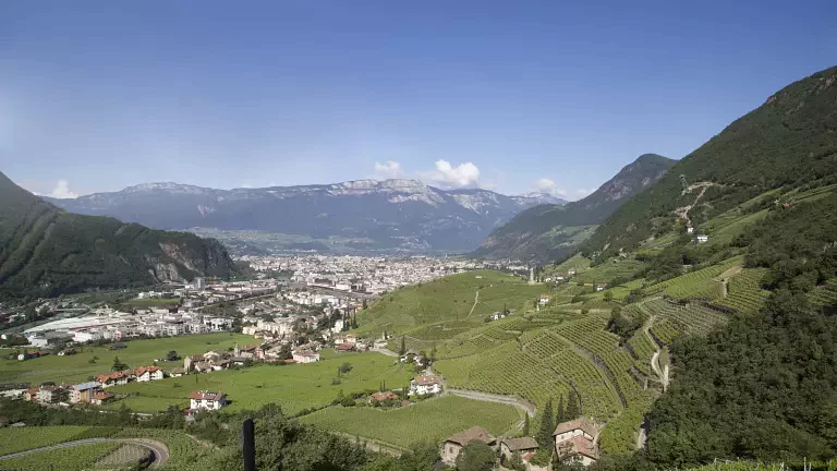
The High Route n. 10 winds among the Adige valley mountains, beyond the central Dolomites and parallel to the High Route n.6, which crosses the Carniche Alps.
This one, which starts in Bolzano and ends in Gardone Riviera, is also the longest High Route, i.e. 200 km among three wide mountain areas: the Mendola ridge, the Brenta Group and the Alps of the Val di Ledro, all with very different characteristics. Although almost all the stages are short and easy, the itinerary presents some long and difficult stretches, but they can be omitted thanks to some easy variations.
Notes: this High Route requires steady step, absence of giddiness, climbing experience and a good sense of direction, moreover some stretches, particularly long, require a good resistance.
Technical data
Route: from Bolzano/Bozen (266 m) to Gardone Riviera (85 m)
Stages number: 28
Length: 200 km
Average time: 18 days
Difficulty: easy/medium
Stages
Bolzano - Andriano
12 km to cross by car or by bus (line service)
Andriano - Predonico
2 hours walk.
Easy excursion rich in panoramic points.
Uphill difference in height: 530 m.
Predonico - Penegal
4-5 hours walk.
Binding stage for its lenghts and for the difference in height, even if the ascent to Mount Macaion is worth it thanks to a wonderful sight of the hollow of Bolzano. Steady step and a good direction sense are neccessary.
Uphill difference in height: 1320 m.
Downhill difference in height: 380 m.
Penegal - Passo della Mendola
45 minutes walk.
Short downhill stretch along a well-marked path in a wooden area.
Downhill difference in height: 370 m.
Passo della Mendola - Überretscher Hütte
2,5 hours walk.
The path which climbs to the refuge at the foot of the western slopes of Mount Roen is well-marked and it does not present difficulties.
Uphill difference in height: 440 m.
Downhill difference in height: 30 m.
Überretscher Hütte - Rif. Predaia
3,5-4 hours walk.
One of the most difficult stretches of the whole High Route, but, at the same time, one of the most fascinating passages among the Mendola Chain. The safeguarded climb Roen, with some grade II stretches, can be avoided by making another itinerary.
Uphill difference in height: 450 m.
Downhill difference in height: 820 m.
Rif. Predaia - Sfruz
1,5 hours walk.
This panoramic descent to the village of Sfruz, Val di Non, is quite comfortable but the path, which winds among woods and roads, is not well traced.
Uphill difference in height: 15 m.
Downhill difference in height: 400 m.
Sfruz - Cles
Short stretch by bus (several daily links).
Cles - Rif. Peller
4,5 hours walk.
The access to the refuge is quite long and difficult because of the difference in height, but it offers stunning views on the Val di Non.
Uphill difference in height: 1360 m.
Rif. Peller - Rif. Graffer
10-11 hours walk.
Long and binding stretch which crosses the northern Brenta Dolomites, one of the last areas where the black bear of the Alps still lives. Resistance, climbing experience, absence of giddiness and steady step are neccessary. At the beginning of the summer the use of the ice-axe is recommended in case of snow.
Uphill difference in height: 1150 m.
Downhill difference in height: 930 m.
Rif. Graffer - Rif. Tuckett
1,5 hours walk.
Short and not binding excursion along the central part of the Brenta Dolomites.
Uphill difference in height: 230 m.
Downhill difference in height: 230 m.
Rif. Tuckett - Rif. Brentei
1,5 hours walk.
Short and easy crossing along one of the most beautiful paths of the Brenta.
Uphill difference in height: 140 m.
Downhill difference in height: 220 m.
Rif. Brentei - Rif. Pedrotti
1,5 hours walk.
Much crowded path; along the climb to the Bocca di Brenta there can be snow at the beginning of the summer, so the use of ice-axe and crampons is recommended.
Uphill difference in height: 370 m.
Downhill difference in height: 60 m.
Rif. Pedrotti - Rif. Agostini
2,5 hours walk.
Well marked path with beautiful view on the rocky Brenta pinnacles.
Uphill difference in height: 290 m.
Downhill difference in height: 380 m.
Rif. Agostini - Rif. XII Apostoli
2 hours walk.
Very binding stretch for the presence of the safeguarded climb Ettore Castiglioni.
Uphill difference in height: 450 m.
Downhill difference in height: 370 m.
Rif. XII Apostoli - Larzana
5,5 hours walk.
Descent along the side slope of Mount Tov as far as the village of Larzana (12 km) with a sight on the Presanella and Adamello glaciers.
Uphill difference in height: 190 m.
Downhill difference in height: 1720 m.
Larzana - Preore
45 minutes walk
Comfortable excursion on the road to the village of Preore in the Val Giudicarie Superiore valley bottom.
Downhill difference in height: 460 m.
Preore - Zuclo
Short stretch along the valley bottom as far as Zuclo.
Uphill difference in height: 70 m.
Zuclo - Malghe Stabio
2,5-3 hours walk.
Not binding climb even if the last part is quite steep. The mountain huts offer a charming view on the Presanella and Adamello glaciers.
Uphill difference in height: 860 m.
Malghe Stabio - Rif. Pernici
8,5 hours walk.
Stunning stretch which crosses the ridges of Monte Altissimo-Malga Gaverdina-Dosso della Torta-Corno di Pichea. This path, not much crowded before the institution of the High Route n. 10, is not recommended in case of bad weather since it is very much exposed.
Uphill difference in height: 1240 m.
Downhill difference in height: 1090 m.
Rif. Pernici - Pieve di Ledro
2 hours walk.
Relaxing path which goes downhill to the Valley of Ledro; it requires a steay step.
Uphill difference in height: 1070 m.
Downhill difference in height: 140 m.
Pieve di Ledro - Rif. Garda
4,5-5 hours walk.
Long but not difficult climb though a pre-alpine landscape. It is recommended to start it early in the morning for it lies in the south.
Uphill difference in height: 1160 m.
Downhill difference in height: 130 m.
Rif. Garda - Magasa
6 hours walk.
Long crossing of a territory rich in rare flora and fauna. The itinerary follows old military routes, sometimes in bad conditions. Not marked path which requires much attention in case of fog in the Upper Caplone.
Uphill difference in height: 1360 m.
Downhill difference in height: 620 m.
Magasa - Capovalle
3,5-4 hours walk.
Easy stretch along an old war route nowadays not marked.
Uphill difference in height: 500 m.
Downhill difference in height: 580 m.
Capovalle - Passo Cavallino
1,5 hours walk.
Short panoramic climb to Passo Cavallino from where you can enjoy the view on the lake of Idro.
Uphill difference in height: 250 m.
Downhill difference in height: 70 m.
Passo Cavallino - Rif. Pirlo
4 hours walk.
Easy climb, not long but binding. Sometimes the route is not marked and it present a thick vegetation. Pay attention to vipers.
Uphill difference in height: 420 m.
Downhill difference in height: 350 m.
Rif. Pirlo - Trattoria Colomber
2 hours walk.
First stretch of the descent to the Garda Lake through wide meadows.
Downhill difference in height: 760 m.
Trattoria Colomber - Gardone Riviera
1 hour walk.
Final stretch: it can be made on foot or by bus. Suggestive stretch among the olive trees of the Garda Lake.
Downhill difference in height: 320 m.
N.B. Before starting the itinerary, it is advisable to find out about the weather and verify the opening of the shelters and their availability.