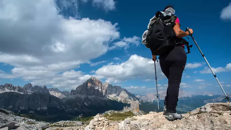
Monte Altissimo (2079 m) rises above the Brentonico Plateau with one of the most spectacular views over Lake Garda. Famous among botanists for its extraordinary variety of alpine flowers, this mountain still preserves trenches and fortifications from the First World War, making the hike a journey through both nature and history. The four proposed routes follow well-marked trails through mountain huts, forests and panoramic ridges, all leading to the summit.
1. Traditional Route – Easy
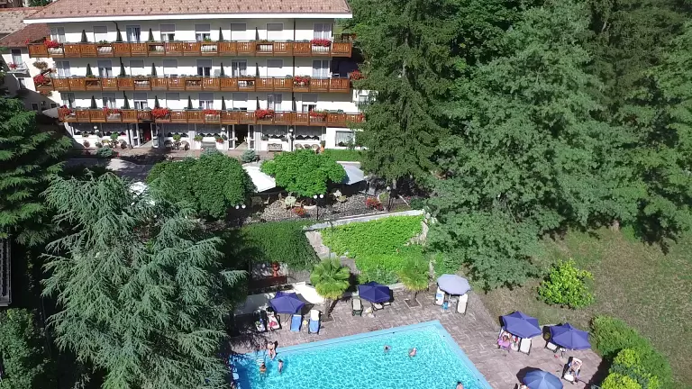
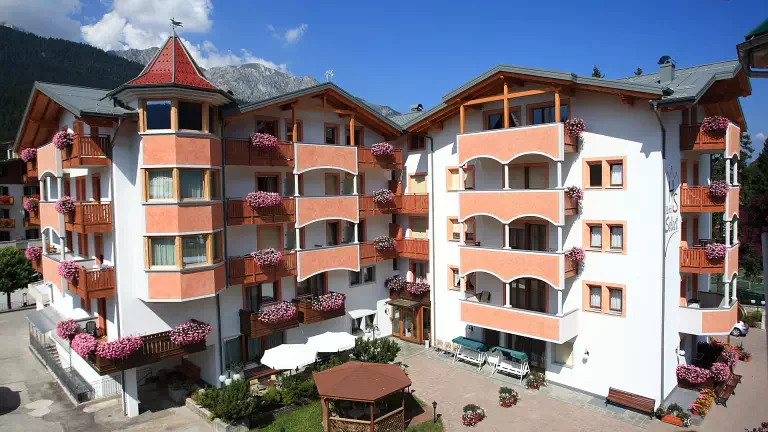
Start/Finish: Albergo Graziani
Time: 1 h 15 min
Trail: 633
Elevation gain: 450 m
Max altitude: 2069 m
Difficulty: T
The easiest route begins near Rifugio Graziani and follows the wide gravel road of trail 633, climbing steadily to the summit. It’s perfect for a relaxed panoramic walk across the pastures of the Brentonico Plateau.
2. More Challenging Route – For trained hikers
Start/Finish: San Giacomo
Time: 4 h 45 min (2 h 15 min in summer; 3 h 30 min with snowshoes)
Trail: 622
Length: 4.7 km
Elevation gain: 866 m
Max altitude: 2069 m
Difficulty: E
From San Giacomo, trail 622 climbs towards Malga Campo. Beyond the hut, the path becomes steeper, especially in the final stretch to the summit. This is the ideal route for hikers seeking a more athletic ascent with significant elevation gain and increasingly wide views.
3. Quiet Route – From Bocca di Navene
Start/Finish: Bocca di Navene
Time: 2 h 30 min
Elevation gain: 650 m
Max altitude: 2069 m
Difficulty: E
For those who prefer quieter paths, the start at Bocca di Navene (1425 m) is ideal. Trail 651 follows the ridge between the Brentonico Plateau and Lake Garda, offering breathtaking views of the lake and the Baldo range.
4. Route through the mountain huts
Start/Finish: Albergo Graziani T
ime: 3 h 30 min
Elevation gain: 600 m
Max altitude: 2069 m
Difficulty: E
A varied route through woods, trenches and pastures. From Graziani, the trail leads to Malga Campo, then skirts the northern slopes of Monte Baldo to reach Malga Campei. From here, trail 624 and then 601 lead to Rifugio Damiano Chiesa at the summit.