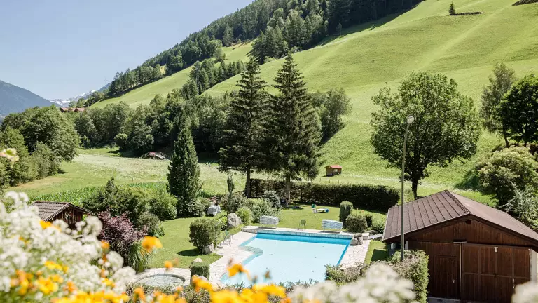
A great classic for experienced hikers, winding through alpine huts, moraines, and breathtaking views of the Rieserferner Group.
This loop trail starting from Riva di Tures (1598 m) is one of the most fascinating and demanding hikes in the area. The route crosses high‑altitude mountain pastures, rocky ridges, and landscapes shaped by ancient glaciers, offering unique views over the Riva Valley, the Rieserferner mountains, and the Collalto massif. It is recommended for well‑trained hikers with a good head for heights: a short exposed section equipped with a rope requires steady footing and full concentration.
Route description
From Riva di Tures to the Kofleralm huts
From the village centre, follow the road into the Valle dei Dossi for about 1.5 km until the parking area. Here, take trail 8A, crossing the Knuttenbach stream and climbing through forests and traditional farmsteads, passing the Ebnerhof. The ascent continues through the woods until reaching the Untere Kofleralm, then opens onto a wide plateau where the Obere Kofleralm (2192 m) stands. This marks the beginning of the most scenic part of the tour: the high‑altitude traverse.
Panoramic traverse to the Ursprungalm
The trail continues eastward, alternating gentle climbs and descents across pastures and ancient glacial moraines. The landscape becomes increasingly alpine until reaching the Ursprungalm (2396 m), surrounded by streams and glacial tongues descending from the Sasso Lungo.
Along the Arthur‑Hartdegen‑Weg to the Rifugio Roma
After crossing the glacial stream, the path climbs to a rocky ridge where the historic Arthur‑Hartdegen‑Weg (trail 8) begins, built in 1910 as a connection between the mountain huts of the area. The route skirts the steep slopes of the Riesernock, offering dramatic views of the vast rocky amphitheatre beneath the Collalto. Crossing moraines and small streams, you finally reach the Rifugio Roma (Hochgallhütte, 2276 m), open in summer and perfect for a well‑deserved break.
Return to Riva di Tures
From the hut, descend along the Hüttenweg (trail 1) through forests and meadows until the valley floor of Riva di Tures. The final stretch is gentle and relaxing — an ideal way to end the hike.
Technical data
- Starting point: Riva di Tures (1598 m)
- Highest point: Ursprungalm / Riesernock ridge (~2380 m)
- Elevation gain: approx. 840 m
- Difficulty: high – for experienced hikers
- Features: exposed section with rope, high‑altitude terrain, exceptional views