 © Consorzio Turistico Val d'Ega
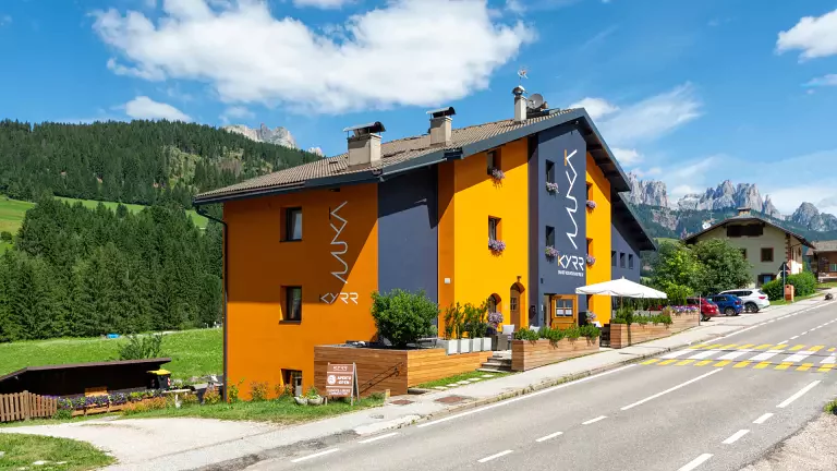
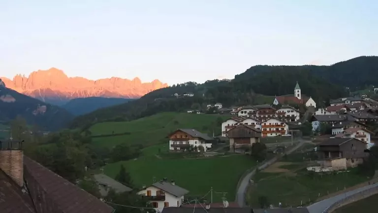
Collepietra – Unterdorf – Collepietra Ruins
Duration: approx. 45 minutes
Difficulty: medium
A short but atmospheric walk, ideal for discovering the history and landscape around Collepietra. From the parish church, the trail descends towards Unterdorf, a small rural hamlet surrounded by greenery. From here, a well‑maintained path with a few steep sections leads to the Ruins of Collepietra, a panoramic viewpoint overlooking the valley and telling centuries of local history. Perfect as a late‑afternoon outing or as an introduction to the area’s hiking routes.
Collepietra – Kaserer Bild – San Valentino – Ponte Nova
Duration: approx. 4 hours
Difficulty: medium
A panoramic hike that blends nature, spirituality and alpine villages. After passing the Collepietra swimming pool, the route follows the Way of the Cross up to the evocative Kaserer Bild, a viewpoint much loved by hikers. The trail continues to Wieser Egg, a natural balcony over the Val d’Ega, before descending to the village of San Valentino in Campo, known for the Max Valier Astronomical Observatory. The final stretch, full of forest switchbacks, leads to Ponte Nova, completing a varied and rewarding hike.
Collepietra – Cornedo – Wiedenhof
Duration: approx. 3 hours
Difficulty: medium
A route that combines shady woodland, vineyards and sweeping views of the Isarco Valley. From the centre of Collepietra, the trail enters a mixed forest leading to the village of Cornedo, dominated by its castle and surrounded by terraced vineyards. From here, the path continues to the Wiedenhof, a panoramic farmhouse offering wide‑open views of the valley. A perfect hike for those who enjoy alternating nature and culture, with moderate elevation gain and ever‑changing scenery.
Masarè Trail (Hirzlweg)
Start: Paolina Chairlift / Carezza or Re Laurin Chairlift / Malga Frommer
Duration: 2–2.5 hours
Recommended period: June – October
Difficulty: medium–high (high‑mountain trail)
One of the most spectacular panoramic routes in the Catinaccio. The Masarè Trail, also known as the Hirzlweg, connects the Rifugio Fronza alle Coronelle, Rifugio Paolina and Rifugio Roda di Vaèl, crossing natural balconies suspended beneath the Rosengarten walls. The views stretch from the Brenta Dolomites to the Ortles and the northern Alpine ridge. The trail requires sure‑footedness and familiarity with high‑mountain terrain, but rewards hikers with unforgettable panoramas.
Passo Santner – Rifugio Fronza → Rifugio Passo Santner → Rifugio Vajolet → Passo delle Coronelle
Duration: 5–6 hours
Recommended period: late June – September Difficulty: high (via ferrata / equipped route)
An iconic Catinaccio itinerary reserved for experienced hikers. From the Rifugio Fronza alle Coronelle, the route climbs the Santner Via Ferrata, an exposed and spectacular equipped path rising between towering Dolomite spires. At the Rifugio Passo Santner, the view of the Vajolet Towers is simply breathtaking. The descent to the Rifugio Vajolet and the ascent to the Passo delle Coronelle complete one of South Tyrol’s most impressive alpine circuits. Essential equipment includes via ferrata gear, alpine experience and stable weather conditions.