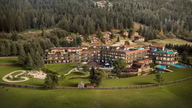
 © E.L.S. – Dolomiti.it
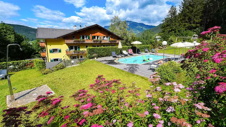
The Merano High Mountain Trail is one of the most spectacular long‑distance hikes in the Alps: a circular route of about 100 km that encircles the entire Tessa Group Nature Park, crossing environments that range from high‑alpine climates to the milder, almost Mediterranean atmosphere of the Merano basin. Most hikers complete it in 5–7 days, but thanks to numerous access points it is also possible to walk individual stages.
The trail is divided into two main sections: the Northern Merano High Route and the Southern Merano High Route, each offering different landscapes and climatic conditions.
Northern Merano High Route
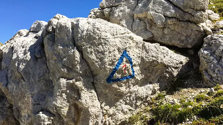
The northern section is the most alpine and demanding, with exposed stretches and higher elevations. One of the most popular access points is Monte Santa Caterina in Val Senales. From here, the trail follows waymark no. 24, climbing through the scenic Val di Fosse, passing Nassereto and Casera di Fuori before reaching the Eishof, an ancient high‑altitude farmstead.
The route continues into the heart of the park, ascending rocky terrain to Passo Gelato (Eisjöchl, 2,908 m), the highest point of the entire High Route. Just below the pass stands the Petrarca Hut, an important stopover. The descent leads toward Plan and Lazins, where the valley opens into wide alpine meadows framed by imposing peaks such as Texelspitze, Roteck and Hohe Wilde.
Southern Merano High Route
The southern section is gentler and more panoramic, characterized by sunny slopes, historic mountain farms and a milder climate. From the northern side, the trail continues to Ulfas in Val Passiria, where the southern section officially ends. From here, hikers can descend to Plata or continue along the southern stages, which pass through places such as Matatz, Magdfeld, Vernurio and the famous Masi della Muta Alta, perched on a steep slope overlooking the Merano basin.
The route also touches panoramic viewpoints such as the Hochganghaus and traditional alpine pastures like Gojener Alm and Tablander Alm, before reconnecting with the Val Senales area.
Key Facts and Useful Tips
- Total length: approx. 100 km
- Total elevation gain: approx. 5,000 m
- Difficulty: hiking trail with exposed sections (sure‑footedness required)
- Recommended season:
- Southern section: May – November
- Northern section: July – September (depending on snow conditions)
- Main access points: Monte Santa Caterina, Unterstell, Hochmuth, Ulfas, Velloi, Giggelberg, Val di Fosse, Plan
- Mountain huts and stopovers: Petrarca Hut, Eishof, Hochganghaus, Gojener Alm, Tablander Alm, Nassereith, Giggelberg, Hochmuth