 © Shutterstock
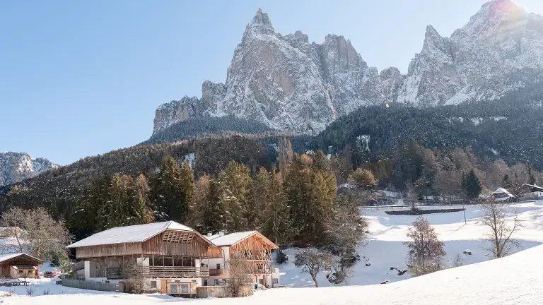
Rosengarten Schlern Skymarathon: a skyrunning marathon among the slopes winding around the Catinaccio Group in South Tyrol.
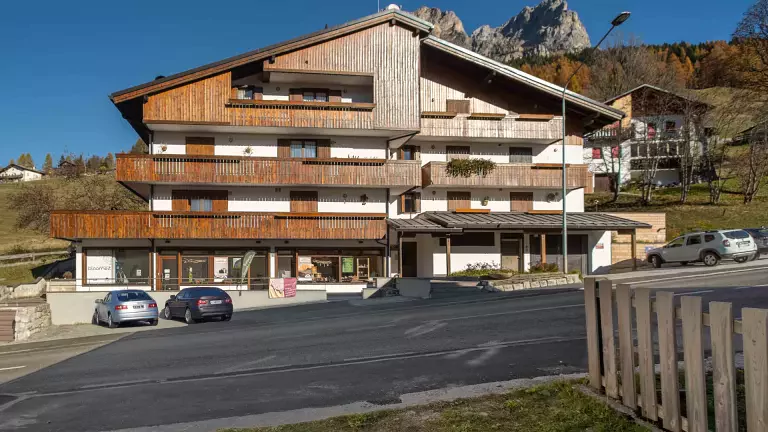
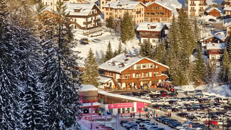
Start and finish located between the towns of Tires and San Cipriano at an altitude of 1,000 m. The route develops uphill until it exceeds 2,600 m of altitude, at Passo Principe.
Rosengarten Schlern Skymarathon Routes
- SHORT ROUTE 36 km: ascent: approx. 1,908 m | descent: approx. 1,935 m. Departure from Tires - Passo Principe - Val Ciamin - Lavina Bianca - Oberstraße - arrival in Tires.
Refreshment Points
km 2.4 | Plafötsch – beverages only
km 5.4 | Malga Haniger
km 9.9 | Rifugio Coronelle – beverages only
km 14.5 | Rifugio Roda di Vael
km 20.3 | Rifugio Vajolet
km 22.5 | Rifugio Passo Principe
km 30.8 | Malga Ciamin
- LONG ROUTE 45 km: ascent: approx. 2,980 m | descent: approx. 3,083 m | No asphalt. Departure from Tires - Sciliar Plateau - Monte Cavone - arrival in Tires.
Refreshment Points
km 2.4 | Plafötsch – beverages only
km 5.4 | Malga Haniger
km 9.9 | Rifugi Coronelle – beverages only
km 14.5 | Rifugio Roda di Vael
km 20.3 | Rifugio Vajolet
km 22.5 | Rifugio Passo Principe
km 26.3 | Rifugio Alpe di Tires
km 31.8 | Rifugio Bolzano
km 34 | Malga Sessel – beverages only
km 39.2 | Rifugio Cavone
Data - Rosengarten Schlern Skymarathon
- - 2 routes: 45 or 36 km
- - 3,000 or 2,000 meters of elevation gain
- - Maximum time limit: 10 hours
- - Start: Tires / San Cipriano
- - Finish / Awards: Tires / Town
- - The maximum number of participants is set at 500 athletes
- BRIEFING: 6:45 am on race day at the start area. Attendance is mandatory.
Recommended equipment:
- - backpack or waist pack
- - windbreaker jacket
- - portable silicone cup
- - mobile phone always on and charged
- - water bottle or camelbak
- - sufficient food supply to reach the next refreshment point
- - cap, headband or other type of headwear
- - first aid kit: sterile gauze pads, bandages, adhesive plasters, disinfectant, aluminum emergency blanket / emergency blanket