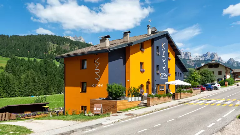
 © Consorzio turistico Val d'Ega
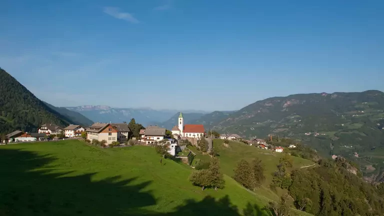
Tires – Völsegg – Schönblick – Prösels Castle
Duration: approx. 2 hours Difficulty: easy
A pleasant and accessible walk that winds through meadows, farmsteads and woodland at the foot of the Sciliar. From Tires, the trail leads to Völsegg, a small rural hamlet surrounded by greenery, and then climbs to the panoramic viewpoint Schönblick, offering magnificent views of the Dolomites. The hike ends at the charming Prösels Castle, one of South Tyrol’s most fascinating historic residences – a visit is highly recommended. Return along the same path, with optional variants on forest roads.
Cardano – Collepietra – Earth Pyramids – Briè
Duration: 3–3.5 hours Difficulty: medium
A varied hike that begins in Cardano with a steady ascent towards Collepietra, crossing mixed woodland and offering glimpses of the Isarco Valley. Once in the village, the route leads to the spectacular Earth Pyramids, one of the area’s most striking natural formations. The descent to Briè unfolds through meadows and peaceful rural landscapes, creating a relaxing and uncrowded atmosphere.
Collepietra – Obergummer – San Valentino
Duration: 2.5–3 hours Difficulty: medium
From the centre of Collepietra, the trail climbs towards Kummerhof, then continues to the sunny Platzerhof, known for its wide-open views of the Catinaccio. The path proceeds to Obergummer, home to the Max Valier Astronomical Observatory, and ends in the picturesque village of San Valentino in Campo, surrounded by traditional farmsteads and high‑altitude meadows.
Panoramic Loop of Collepietra: Wieslhof – Unteregger – Kaserer Bild – Lärchhof – Oberölgartner – Sports Field
Duration: 4.5–5 hours Difficulty: easy–medium
A varied and panoramic loop starting from the parking area above Wieslhof, skirting the peaceful Gamper Pond. The trail reaches the highest viewpoint above Collepietra, offering sweeping views of the Sciliar massif and the Val d’Ega. It continues to the evocative Kaserer Bild, then through woodland to Lärchhof and finally to Oberölgartner. A new forest road leads comfortably back to the starting point, crossing meadows and woodland.
Collepietra – Wiedenhof – Oberölgartner – Kummerhof – Collepietra
Duration: 5–5.5 hours Difficulty: medium
A circular hike that blends nature, panoramic viewpoints and rural tradition. From Collepietra, the route follows the Fitness Trail to Wiedenhof, where a beautiful view of the Isarco Valley and Bolzano opens up. The path climbs gradually to Oberölgartner, a much‑loved viewpoint, and continues towards Kummerhof. The return follows the old sledding track, an easy and scenic stretch through the forest.