 © Depositphotos
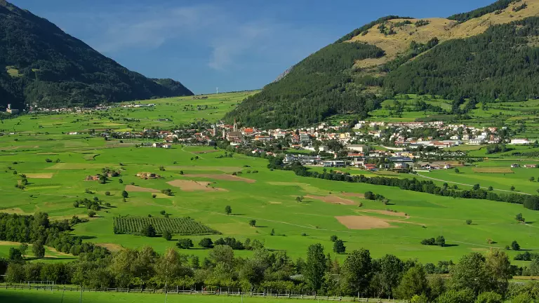
The cycle path from Resia to Merano forms the first section of the Adige Cycle Path along the ancient Via Claudia Augusta. The itinerary follows an 82‑km route along the Adige River, ideal for a solo ride or an outing with family and friends, immersed in unspoilt nature between meadows and green forests, while discovering historical and cultural highlights. It is a medium‑difficulty cycle route that can be completed in roughly 5 hours.
This section represents the first stretch of the ancient Roman road Via Claudia Augusta. The route starts in Resia, a small hamlet in the municipality of Curon Venosta, and descends along the spectacular Lake Resia, famous for its historic bell tower rising from the water — a symbol of the Upper Val Venosta. The path continues towards Malles, then reaches Glorenza, one of the smallest towns in Tyrol and a masterpiece of late medieval architecture.
The next stop is Silandro, located in the heart of the valley and rich in artistic and historical features, from its late‑Gothic church to one of the tallest bell towers in the region. After passing several villages, including Naturno, the route leads to Parcines, dominated by the impressive Monte Tessa massif. Continuing towards Lagundo, you finally arrive in Merano, renowned for its thermal centre and its unique blend of cultures.
For those starting in Merano, it is possible to take the Val Venosta train with your bike (with a small surcharge) to Malles, and then cycle back to Merano. The ideal period runs from mid‑April to late October. For those wishing to enjoy blooming orchards and snow‑covered peaks, the best time is late April to mid‑May. Those who dislike the heat should avoid July and August.
Start: Resia Finish:
Merano Surface: Mixed
Route type: Cycle path
Traffic: Away from main roads, fully immersed in nature