 © Franco Merchiori | APT Valsugana
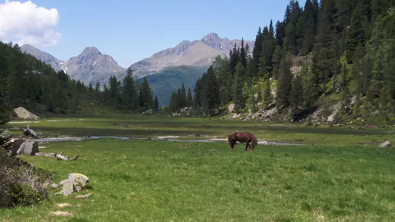
A spectacular itinerary through the wild heart of the Lagorai, following the ancient Austro-Hungarian and Italian defence lines of the First World War. This multi‑day route combines historic fortifications, military paths, high‑altitude pastures, still‑active mountain farms and unforgettable views over the Lagorai Range and Cima d’Asta.
The trek is recommended from May to September. Before setting off, check the weather forecast and the opening of the mountain huts, make sure you are properly trained, and start your hike before 10:00 from Passo Manghen. The loop can be walked in either direction. Passo Manghen is accessible from the SS47 Valsugana road, taking the exit for Borgo Valsugana and following the signs for Telve and then Passo Manghen. Parking is available near the mountain hut.
Day 1 – Passo Manghen → Rifugio Caldenave
Elevation gain/loss: +1,087 m / –1,335 m
Distance: 15.8 km
Time: 6 hours
Support points: Malga Montalon, Garni Sat Lagorai
From Passo Manghen, follow trail SAT 322 to Forcella Pala del Becco, where you turn onto 322B. Continue to the junction with SAT 362, which leads to Malga Montalon (approx. 2h45). From the malga, descend into Val Campelle until you reach the valley road (1h30). After a short paved stretch (300 m), follow the signs for Rifugio Caldenave “Claudio e Renzo”, reached in about 1h15 along SAT 332.
Day 2 – Rifugio Caldenave → Malga Conseria
Elevation gain/loss: +908 m / –860 m
Distance: 12.6 km
Time: 5h30
Support points: Ricovero Lasteati / Coro Sasso Rotto
From the hut, continue on SAT 332, then take trail 373 A/Bis to Forcella di Val Orsera (1h30). Here you join SAT 373, which climbs from Forcella Segura and continues north to Forcella delle Buse Todesche. Follow the trail to the panoramic Forcella Magna (approx. 2 hours). From here, take SAT 326, which in 1h30 leads first to Passo Cinque Croci and then to Rifugio Malga Conseria.
Day 3 – Malga Conseria → Passo Manghen
Elevation gain/loss: +831 m / –637 m
Distance: 12.6 km
Time: 5 hours
Support points: Malga Val Cion
From the hut, climb again to Passo Cinque Croci, then continue towards Malga Val Cion along SAT 318 (1 hour, 170 m ascent). The route continues for another hour to Forcella Valsorda, passing Passo Val Cion. From here, return to Passo Manghen along SAT 322, a scenic undulating trail that takes about 2h30.