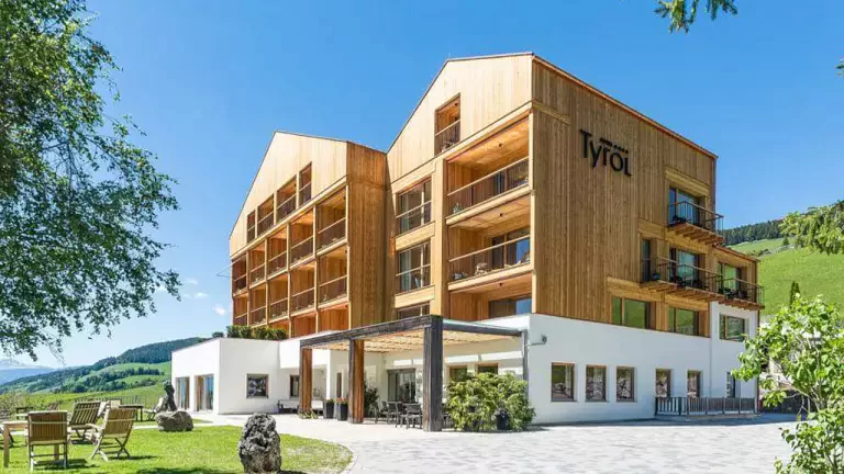
 © Pixabay
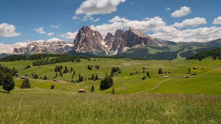
 © Valtercirillo | Pixabay
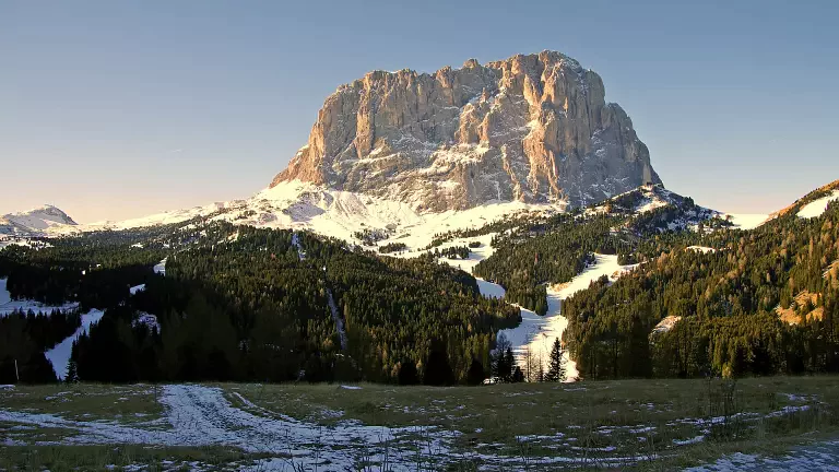
A classic loop hike in Val Gardena, set at the foot of the sheer rock walls of the Sassolungo. From Passo Sella the trail climbs to the Forcella del Sassolungo, crosses spectacular rocky terrain and returns across high‑altitude meadows with wide views of the Sella massif and its famous towers.
Start from Passo Sella
From the parking area at Passo Sella (2,183 m), follow trail no. 525, which climbs the western slope of the Sassolungo to the Forcella del Sassolungo, home to the Rifugio Toni Demetz. Those wishing to shorten the ascent can take the cable car directly from the pass to the saddle, saving about 1h15 of walking.
At the Forcella del Sassolungo
Once at the hut, the view opens onto some of the most distinctive peaks of the group: the Cinque Dita (2,998 m), Sasso Levante (3,114 m), Sassopiatto (2,954 m) and the Spallone del Sassolungo (3,081 m). The landscape is rugged and dramatic, shaped by vertical walls and scree slopes.
Descent to Rifugio Vicenza
From the saddle, the trail descends into the Dantersasc area, a rocky valley framed by towering cliffs. After about 45 minutes, you reach the Rifugio Vicenza (2,253 m), an excellent spot to admire the grandeur of the Sassolungo up close.
Trail 526 and arrival at Rifugio Comici
Continue downhill for a short stretch to a junction, where you take trail no. 526 – Via Stradal. This path skirts the southern and eastern sides of the massif and leads to the Rifugio Emilio Comici (2,153 m), a natural balcony overlooking Val Gardena and the Odle and Puez groups.
Return across the meadows and the Città dei Sassi
From the hut, continue east across gentle alpine meadows with direct views of the Sella massif and its towers. The trail passes two ski lifts and skirts the large rockfall known as the Città dei Sassi, an impressive chaos of boulders at the foot of the Sassolungo. Crossing the meadows, right in front of the Torri del Sella, you return comfortably to the starting point in about 40 minutes.