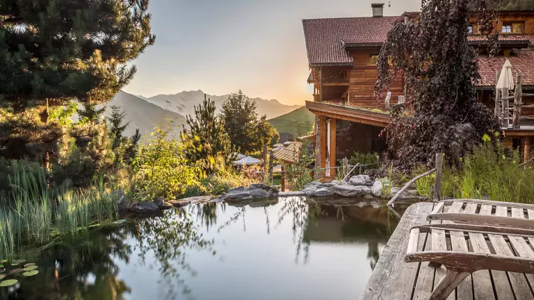
 © Associazione Turistica Brunico Kronplatz Turismo
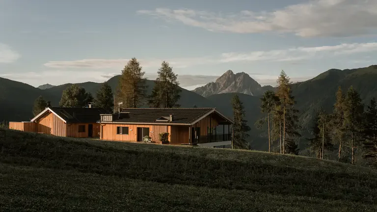
The route from Elle to Cima Lasta is a well-marked circular hike, mainly following trail no. 67 on the way up and no. 68 on the way back, passing by the Walder-Alm, Pluner-Hütte and Rastner-Hütte mountain huts.
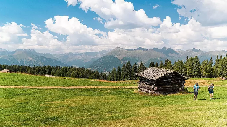
The hike takes place on the Rodengo-Luson Alpine Plateau, one of the most expansive and scenic highlands in South Tyrol. The starting point is at the Kreuznerhof farm (1,481 m) in the hamlet of Elle. From here, trail no. 67 begins, gently ascending through forests of spruce and larch, skirting the picturesque Walder-Alm. The landscape gradually opens onto alpine meadows and pastures, offering increasingly wide views of the surrounding valleys.
After about an hour of walking, you reach Cima Lasta (Astjoch, 2,194 m), the highest peak of the Luson Alp. From here, you enjoy a 360° panorama: to the north, the snow-covered peaks of the Rieserferner Group; to the east, the basin of Brunico; to the south, the Luson and Rodengo plateaus; and to the west, the Dolomites of Fanes.
The route continues downhill along the wide alpine road, still following trail no. 67, until you reach the Pluner-Hütte (Starkenfeld hut, 1,936 m), a great spot for a traditional lunch. After about 100 m, trail no. 68 turns north toward the Rastner-Hütte, crossing pastures dotted with alpine lakes and charming huts. This section is mostly flat and relaxing, with open views and pristine nature.
From the Rastner-Hütte, the loop closes by returning to the starting point, once again passing through forested areas and pastures. The entire loop takes about 3–4 hours of leisurely walking, with moderate elevation gain and well-maintained paths, suitable even for less experienced hikers.