 © Associazione Turistica Brunico Kronplatz Turismo
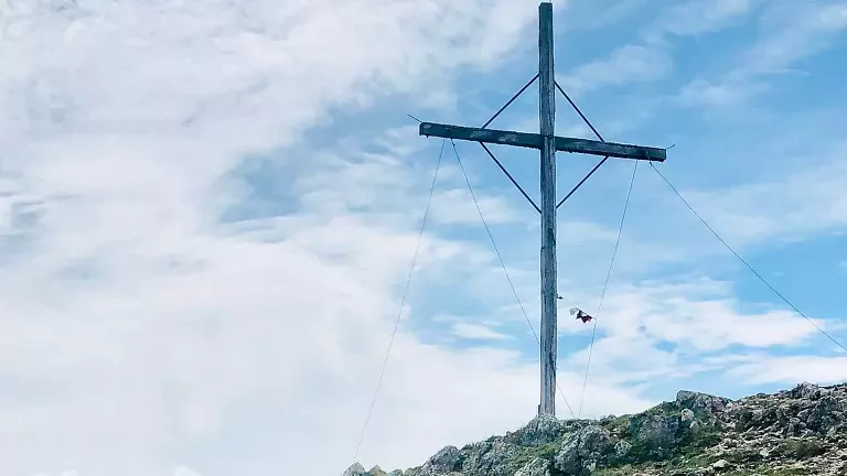
The hike to Monte Nalle in the Puster Valley is a challenging route starting from Rasun di Sopra or Rasun di Sotto, leading up to the summit at 2,231 meters and offering spectacular views of the Dolomites of Braies, Plan de Corones, and the Puster Alps.
The trail follows path no. 4 and path no. 3 to the Burgfrieden farmstead, from where you can either climb through the forest or take the variant via Redensberg. The ascent involves a difference in altitude of about 1,140 meters from Rasun di Sopra and 950 meters from Rasun di Sotto, with wooded sections giving way to alpine pastures and panoramic ridges. The terrain becomes increasingly rocky and requires sure footing and mountain experience, but the effort is rewarded by the view from the summit, which embraces the alpine chains of the Zillertal, Ötztal, and Stubai, along with the rocky towers of the Dolomites. Continuing further, you reach the Montone (Rammelstein, 2,448 m), making the hike even more complete.
The return can be made along the same route or descending from the Montone via path no. 4b, which leads to the Lahner Alm and the huts of Unterhütten, before returning to Rasun along the forest road through Burgfrieden.
The hike to Monte Nalle is classified as difficult and recommended for experienced hikers, but it offers unique panoramas and total immersion in the unspoiled nature of Rasun and the Puster Valley.