The hike from Rifugio Costapiana to Rifugio Antelao is a classic route much loved by walkers exploring the Valle di Cadore area. The itinerary follows the historic mule track no. 251, which climbs steadily along the southern slope of Col de San Dionisio, crossing forests, clearings and traditional mountain barns.
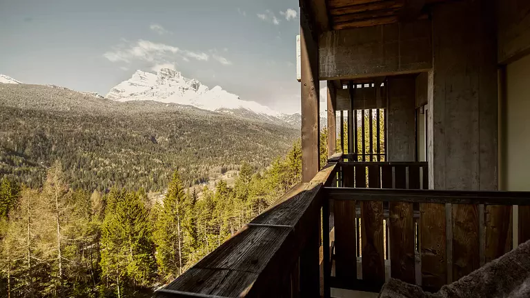
Starting at around 1610 m, the path rises gently until it reaches the junction with the old military trail leading toward Forcella Antracisa. Keeping left, the mule track continues uphill until it reaches the summit of the hill at 1946 m, one of the most scenic points of the entire hike. From here, the view opens wide over the valley and surrounding peaks, and the charming Chapel of San Dionisio appears just a short distance away.
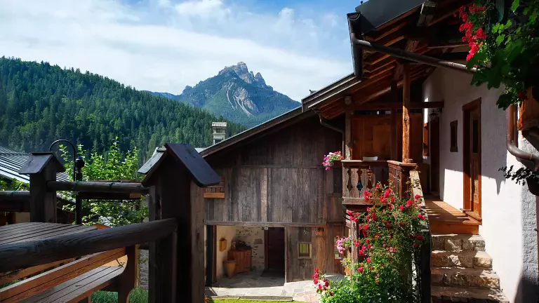
From the top of the hill, the trail changes character: a steeper but well‑marked descent leads quickly to Rifugio Antelao (1796 m), the endpoint of the excursion and an ideal place for a break or a traditional lunch. The return follows the same path, always clear and easy to navigate.
The hike is recommended from May to October, when the mule track is free of snow and the landscape shows its most vibrant colours.