 © BVD – Achim Meurer
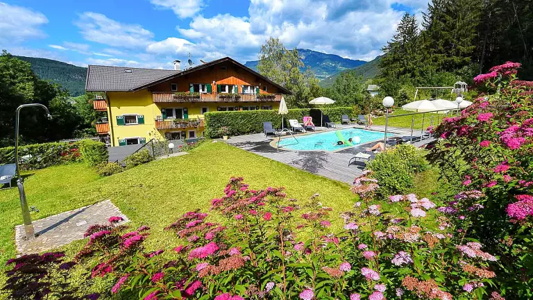
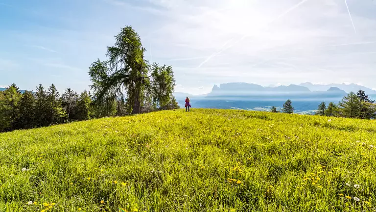
This long but fascinating hike across the Renon plateau connects Soprabolzano with Collalbo, crossing historic farmsteads, spectacular viewpoints and some of the most characteristic landscapes of South Tyrol. It’s an itinerary rich in nature, rural culture and sweeping views over the Bolzano basin.
The route: between farmsteads, historic paths and breathtaking views
From Soprabolzano, the hike begins along the blue trail no. 23, then continues on 23/A until reaching the Bachhütterhof. After crossing a wide meadow, turn right and follow a short paved road. After about 200 metres, the trail no. 31/B appears on the left, narrowing into the charming Bauernjugendsteig.
The path leads to the Patschunterhof (996 m), a traditional farm known for its peacocks and the handcrafted items made from their feathers. Next to the farmhouse, a panoramic bench offers a beautiful view over Bolzano.
From here, follow the church trail no. 31/A to Auna di Sotto (899 m, about 2 hours from Soprabolzano). The parish church of Santa Lucia is worth a visit, as is the Albergo Wunder, famous for its traditional Tyrolean Stube.
Above the church, the red trail marked for the earth pyramids runs alongside apple orchards and the striking white formations shaped by erosion.
The route then climbs more steeply to the Rielingerhof (776 m, about 1 hour from Auna di Sotto), where you can enjoy local wine, homemade cheese, speck and other farm specialties. The farmer Heinl is well known for his warm hospitality and entertaining stories about the area.
To climb up towards Siffiano (998 m), follow the red trail no. 11, with the option to visit the restored Peterskirche (key available at the adjacent farm).
Finally, continue along the red trail no. 11 and then the blue trail no. 340 to reach Collalbo (1,100 m; about 1.5 hours from the Rielingerhof).
Return
You can return to Soprabolzano comfortably with the Renon train, or on foot via the blue trail no. 11 or the blue trail no. 8 (about 1.5 hours).