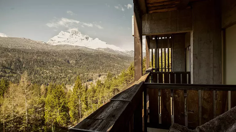
Easy Walks and Family‑Friendly Routes
These trails wind through valley floors, pine forests and natural areas, ideal for relaxing and accessible outdoor experiences.
- Lakes and Pine Forest Loop — A gentle walk through cool woods, small alpine lakes and play areas, perfect for families.
- Palas Walk (4 km) — A flat forest‑road itinerary suitable for everyone.
- Children’s Trail (4 km) — An educational route that introduces young hikers to nature; ideal for schools and families.
- Botanical Trail — A themed path with interpretive panels dedicated to the park’s plants and flowers.
- Forni Loop (15 km) — A wide panoramic circuit through meadows and woods surrounding the village, perfect for a full day outdoors.
- Landris Trail — A simple and very scenic walk, officially recognised by the Park.
- Tagliamento River Loop — An easy stroll along the great alpine river, ideal on warm summer days.
- Landris Trail — A simple and highly evocative walk.
Panoramic Hikes of Medium Difficulty
Longer and more varied routes, suitable for hikers with a minimum level of fitness.
- Truoi dal Von — A panoramic and popular trail, officially listed among the Park’s itineraries.
- Bianchi Loop (2h30) — A scenic circuit starting from Rifugio Giaf, with views of peaks and forest landscapes.
- Rifugio Flaiban Pacherini (2h) — A hike through the wild Val di Suola, among streams and untouched forests.
- Rifugio Giaf (1h) — A straightforward ascent on a dirt road, ideal as a first high‑altitude walk.
- Rifugio Baita Som Picol (1h) — An easy route, also reachable by chairlift.
- Col dei Piais Trail — A panoramic medium‑difficulty itinerary included in the Park’s official routes.
- Bregoline Trek — A medium‑difficulty loop across ridges and forests, recommended for trained hikers.
- Col dei Piais — A panoramic medium‑difficulty route.
Historical and Nature Trails
Routes that combine nature, history and scenic viewpoints.
- Miaron Forts (2h) — A historical itinerary along First World War fortifications, starting from Passo Mauria.
- Val Rovadia Waterfall — A simple walk to one of the area’s most scenic waterfalls, officially listed by the Park.
High‑Altitude Routes and Scenic Viewpoints
For hikers seeking spectacular views and true alpine environments.
- Clap di Varmost — An exceptional viewpoint: 20 minutes from Malga Varmost (chairlift arrival) or 2 hours from the village.
- Alpine Pastures Tour — About 2 hours of ascent to reach Malga Varmost, Lavazeit, Tartoi, Tragonia and Montemaggiore.
- Mont Ciavac Trail — A demanding but highly panoramic itinerary, included in the Park’s official routes.
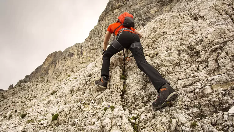
Routes for Expert Hikers
Long, wild and spectacular itineraries typical of the Dolomiti Friulane.
- Forcella Scodavacca (4h) — A demanding ascent into the heart of the Park, among scree slopes and vertical walls.
- Truoi dai Sclops (6h) — One of the Park’s most iconic and wild routes, officially recognised.
- Anel Alt di For — A multi‑day loop crossing alpine pastures, passes and the Truoi dai Sclops; suitable only for experienced hikers.
- Monte Pramaggiore and Monte Cimacuta — The main peaks of the area, confirmed among the Park’s difficult itineraries.
- Monte Raut — A challenging and panoramic ascent, listed among the Park’s difficult routes.
- Mont Ciavac Trail — A demanding and highly scenic route.
- Bregoline Trek — A loop itinerary for trained hikers.
- Monte Chiarescons — A tough ascent from the northern side, officially recognised among the Park’s difficult routes.