 © Shutterstock
This circular itinerary, ideal from April to October, is one of the most scenic routes in the Lagorai for those who enjoy running or trail running. The route alternates runnable sections with more technical climbs, crossing high‑altitude environments at the edge of the tree line, where rhododendrons, mountain pine, and wide views of the Pale di San Martino stand out.
Route description
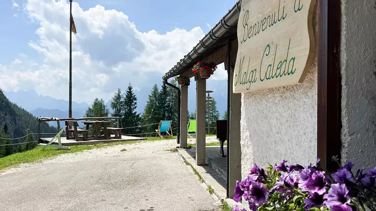
The starting point is Malga Ces, in the Paneveggio – Pale di San Martino Nature Park. The route begins by climbing the ski slope for about 300 metres, a demanding but short stretch that is perfect for warming up. At the signed junction on the right, the trail begins to rise steeply along the Cavallazza ridge, with a short rocky passage that is easy but requires attention when running.
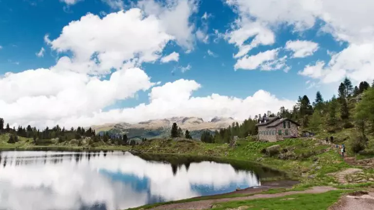
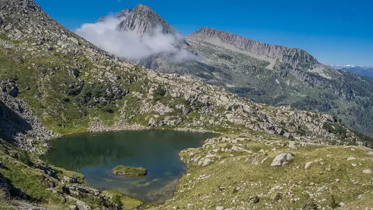
The ascent leads to the Laghi di Colbricon, two beautiful alpine lakes that are very popular in summer. Here the terrain becomes smoother, allowing you to regain rhythm. A short distance away is the Rifugio Laghi di Colbricon, an excellent spot for a break or refreshment.
The route continues along the path that skirts the larger lake, quickly reaching Passo Colbricon. From here, the descent towards Pian delle Cartucce begins, and the loop closes with a fast, runnable stretch back to Malga Ces.
- Length: 3.8–4 km
- Elevation gain: ~260 m
- Average running time: 35–50 minutes
– experienced runner: 30–35 min
– intermediate runner: 40–50 min - Running difficulty: medium
– steep initial climb
– short technical ridge
– fast and runnable descent
MALGA CES
Località Ces – 38054 San Martino di Castrozza (TN)
Phone: +39 0439 68223
RIFUGIO ALPINO LAGHI DI COLBRICON
Lagorai – Laghi di Colbricon, 38054 Passo Rolle (TN)
Phone: +39 348 7952430
Area: Lagorai – Laghi di Colbricon (1,927 m)
Private property – 3 beds