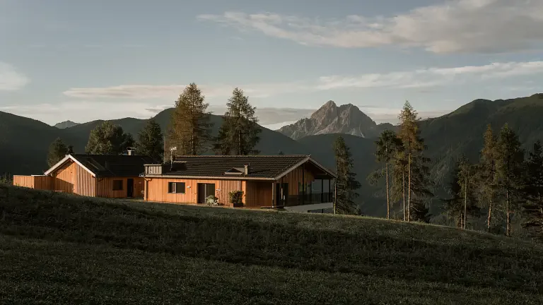
A perfect route for anyone who loves walking through authentic South Tyrolean landscapes: welcoming mountain huts, wide-open views and a circular trail leading to Cima Lasta (2194 m), a natural balcony overlooking the Dolomites and the Zillertal Alps.
From Elle to the Walderalm
The hike begins in Elle, where a small parking area near Kreuzner Hof (1550 m) marks the starting point. After the barrier, trail no. 67 climbs gently through woods and meadows until reaching the Walderalm (1908 m), an inviting stop for refreshments.
Towards Kaser-Hütte and the alpine lake
Continue along the forest road to the Kaser-Hütte, surrounded by peaceful pastures. A little further on, a charming alpine lake appears on the left, announcing the final ascent to the summit.
Cima Lasta – the highest point of the hike
The trail leads up to Cima Lasta (2194 m), where a stunning panorama opens over the Rodengo–Luson plateau, the Odle peaks, Sass de Putia and the mountains of the Puster Valley. A broad, welcoming summit ideal for a scenic break.
Descent to Pluner-Hütte and Rastner-Hütte
From the top, descend westward along a wide high‑altitude track to the Pluner-Hütte, one of the area’s most characteristic alpine huts. After about 100 metres, turn north toward the Rastner-Hütte, set in a postcard‑perfect landscape of pastures and wooden huts.
Return via Moas-Alm to Elle
The route continues on a narrower path across the meadows before rejoining the forest road leading to the Moas-Alm. After crossing a small stream, the loop closes back at Kreuzner Hof.
Technical details
- Starting point: Kreuzner Hof – Elle (1550 m)
- Highest point: Cima Lasta (2194 m)
- Route type: loop
- Huts along the way: Walderalm, Kaser-Hütte, Pluner-Hütte, Rastner-Hütte, Moas-Alm
- Difficulty: easy to moderate (E)
- Ideal for: fit families, hikers, panorama lovers