 © E.L.S. – Dolomiti.it
A pleasant hike through the fragrant stone pine forest, immersed in the unspoiled nature around Luson, in the heart of the Dolomites. The route starts about 8 km above the village, at the refreshment point Kalkofen, a restored old lime kiln and an ideal place to begin the walk.
From the parking area, follow the trail along the wide riverbed filled with boulders and Dolomite gravel surrounding Luson, until you reach the area of Gunggan. Here the landscape opens up, allowing you to follow the course of a small side stream uphill. Continuing westward, you will find a sign pointing toward Malga Unterpiskoi / Unterpisko-Alm, a perfect stop for a short break.
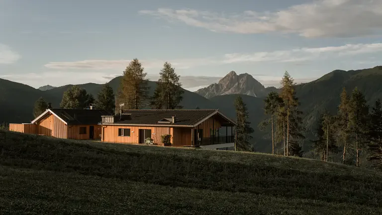
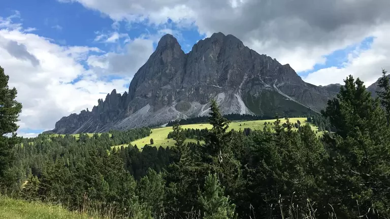
The ascent continues toward the wide alpine meadows of the Gampenwiesen, where the panoramic Schatzerhütte (1984 m) is located. From here, the view stretches across the UNESCO Dolomites, offering breathtaking scenery of nearby peaks and distant mountain groups. Continuing eastward, you can also reach the Enzianhütte (1963 m), another welcoming mountain hut surrounded by high‑altitude pastures.
For the return, follow the mountain road that crosses the stone pine forest: it’s worth stopping for a few minutes to enjoy the intense scent of wood and resin. The marked trail then descends toward the Runggatscher Wiesen, reconnecting with the riverbed near Gunggan. After crossing the riverbed, you easily return to the starting point at Kalkofen.
Technical details
- CAI Trail No. 8
- Route: Kalkofen – Conca – Malga Unterpiskoi – Passo Rodella – Schatzerhütte – Enzianhütte – Runggatscher Wiesen – Kalkofen
- Type: loop hike
- Environment: stone pine forests, alpine meadows, mountain huts and Dolomite panoramas