 © Cooperativa Turistica San Vigilio/San Martin - Dolomites
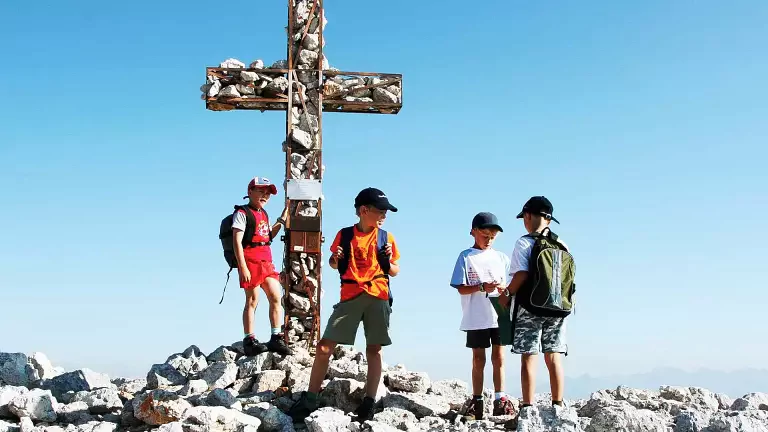
Monte Sella di Senes is located within the Fanes-Senes-Braies Nature Park in South Tyrol and is considered a moderately challenging hiking destination. The summit lies in a central position within the park and can be reached via a well-marked trail starting from the Senes alpine pasture.
Route: The hike begins at the Rifugio Sennes and continues toward the Rifugio Munt de Senes. From there, trail no. 27 leads to the summit, crossing high-altitude terrain. The route features moderate elevation gain and takes approximately 3 hours to complete.
Return option: A circular route is possible by descending toward Lago della Creta, passing through the Riciogogn saddle and the Ciastlins valley. This variant follows trail markers no. 25/24, with return numbering 24A – 24 – 25, and has a similar duration to the ascent.
The hike is suitable for those seeking a mountain experience without major technical challenges, with the opportunity to explore one of the most scenic areas of the Fanes-Senes-Braies Nature Park.