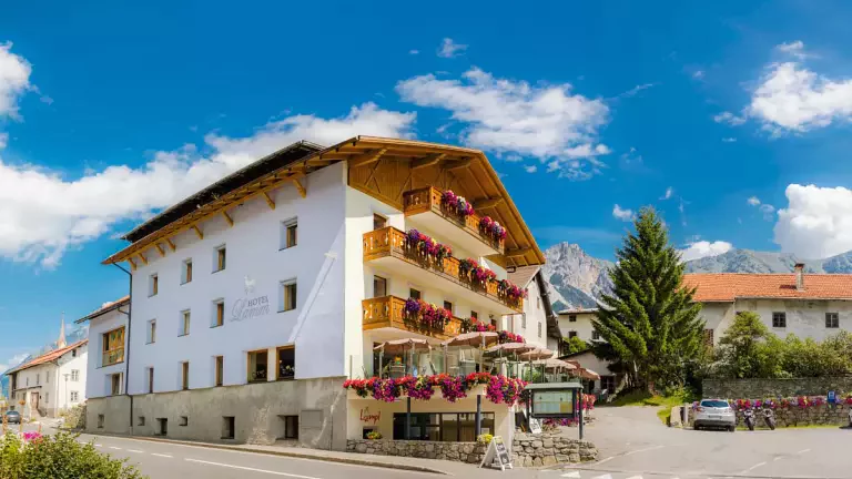
 © APT Val Venosta
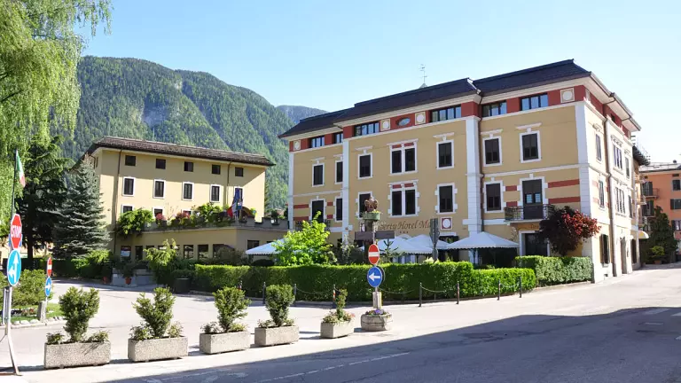
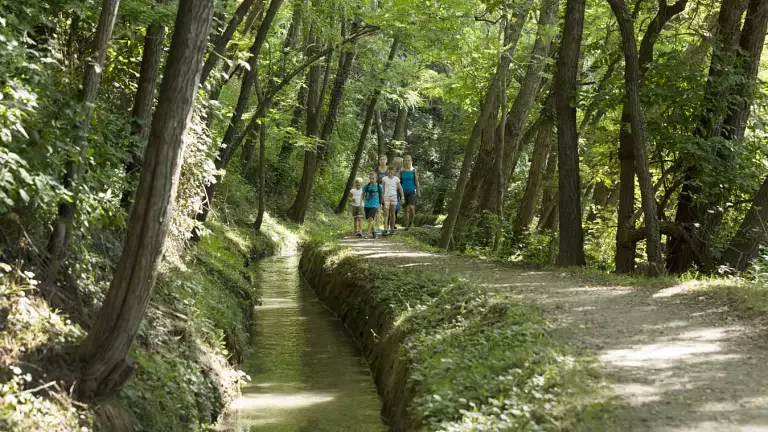
Val Venosta, nestled between the majestic Dolomites and the Rhaetian Alps, is famous not only for its breathtaking landscapes but also for the Waalwege (irrigation channel trails), a unique historical and natural heritage. These ancient water channels, built centuries ago to irrigate fields in a valley characterized by a dry climate and low rainfall, now offer ideal hiking routes for families, trekking enthusiasts, and anyone looking to reconnect with nature.
What are the Waalwege?
The Waalwege follow the course of the irrigation channels along the slopes of Monte Sole and Monte Tramontana. Originally, the channel guardians ensured the water flowed regularly. Today, these trails allow visitors to discover the history and nature of Val Venosta while enjoying peaceful walks, fresh air, and breathtaking panoramas.
The Waalwege network in the valley includes around twenty trails, each with unique features: from the highest and most panoramic Jochwaal, to the oldest Schnalswaal, to family-friendly routes like Stabnerwaal.
Complete list of Waalwege in Val Venosta
Here are the main Waalwege in Val Venosta, including duration, elevation gain, and distance:
Turnaunawaal – Trail no. 8, 8A, 9B, 6
Duration: 2:10 h | Elevation gain: 290 m | Distance: 6 km
Bergwaal – Trail no. 24, 20, 14, 9
Duration: 4:30 h | Elevation gain: 650 m | Distance: 13.5 km
Oberwaal – Trail no. 17, 14
Duration: 1:30 h | Elevation gain: 30 m | Distance: 6 km
Leitenwaal and Berkwaal – Trail no. 18, 17, 20
Duration: 3:00 h | Elevation gain: 290 m | Distance: 6.8 km
Gschneierwaal – Trail no. 21, 27, 23, 20A, 17, 19, 18A
Duration: 4:00 h | Elevation gain: 500 m | Distance: 10.5 km
Ackerwaal – Trail no. 11, 20
Duration: 2:30 h | Elevation gain: 300 m | Distance: 8.2 km
Frauwaal – Trail no. 9, 1
Duration: 2:30 h | Elevation gain: 234 m | Distance: 9.3 km
Bergwaal – Trail no. 11, 33, 34
Duration: 2:00 h | Elevation gain: 373 m | Distance: 5.9 km
Fischerwaal – Trail no. 2, 6
Duration: 2:00 h | Elevation gain: 369 m | Distance: 4.85 km
Zaalwaal – Trail no. 6A, 15A
Duration: 1:03 h | Elevation gain: 150 m | Distance: 3.03 km
Ilswaal – Trail no. 3, 5
Duration: 1:06 h | Elevation gain: 300 m | Distance: 2.8 km
Neuwaal – Trail no. 15, 4
Duration: 4:10 h | Elevation gain: 370 m | Distance: 12.8 km
Kastanienwaal – Passeggiata al Sole, Schlanders
Duration: 0:32 h | Elevation gain: 70 m | Distance: 2.15 km
Kaandlwaal – Forest trail no. 5 → return via trail 15A
Duration: 1:30 h | Elevation gain: 239 m | Distance: 3.65 km
Soywaal – Trail no. 36
Duration: 1:15 h | Elevation gain: 215 m | Distance: 3.97 km
Jochwaal di Tarres – Trail no. 2A
Duration: 2:41 h | Elevation gain: 689 m | Distance: 7.3 km
Neuwaal-Rautwaal-Mareinwaal – Trail no. 5, “Waalrundweg” route
Duration: 2:48 h | Elevation gain: 292 m | Distance: 9.74 km
Raminiwaal – Trail no. 18-18A-5-4-18
Duration: 0:54 h | Elevation gain: 0 m | Distance: 3.63 km
Latschanderwaal – Trail no. 3, from Laces to Castelbello
Duration: 1:30 h | Elevation gain: 65 m | Distance: 5.7 km
Schnalswaal – Trail no. 3, 1
Duration: 3:00 h | Elevation gain: 300 m | Distance: 7.2 km
Stabnerwaal – Monte Sole area
Duration: 2:00 h | Elevation gain: 160 m | Distance: 5 km
Practical tips for safe hiking
The Waalwege are not suitable for bicycles for safety reasons.
Most trailheads are accessible by public transport. The Alto Adige Guest Pass Val Venosta allows easy travel across the valley.
Bring comfortable shoes and water, and enjoy the many scenic resting spots along the trails.
A cultural and natural heritage to discover
The traditional irrigation system of Val Venosta is recognized by UNESCO as Intangible Cultural Heritage, combining history, nature, and culture in a unique experience. Walking along the Waalwege means reconnecting with nature, enjoying breathtaking views, and immersing yourself in centuries of local farming tradition.