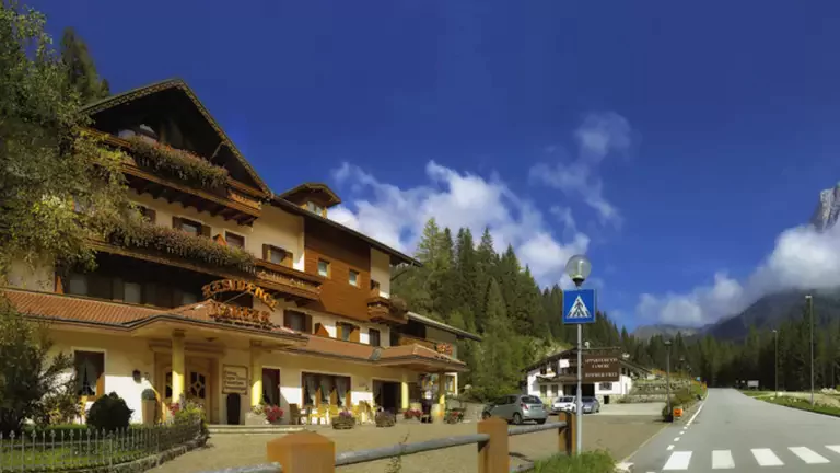
A complete and rewarding MTB itinerary that combines steady climbs, technical sections, adrenaline‑filled descents and a unique historical heritage. From the villages of Carve and Samprogno to the pastures of Praderadego and the medieval Zumelle Castle, this 25‑km loop is a blend of nature and culture in the Belluno Prealps.
From Carve to Samprogno and Zelant: the panoramic climb
The route starts in the main square of Carve di Mel, following the small road toward Pellegai. After crossing the bridge, you enter Samprogno, where a short ramp leads to the village fountain. Here you turn right onto the Pontera dirt road, a steady and rideable climb through the woods.
Zelant and Caosa: rolling terrain and the first technical sections
Once in Zelant, turn right after the small church and continue gently downhill toward Caosa. A stable marks the beginning of a wilder stretch: at the junction, take the path on the right, which alternates short ups and downs until reaching the bed of a stream.
The tough climb to Praderadego
After the ford, the most demanding part begins: a steep climb through the forest, with sections where pushing the bike is necessary. The trail emerges at Praderadego, an ancient pass crossed by the Via Claudia Augusta Altinate, the Roman road that once connected the Venetian plain to northern Europe.
Costa dell’Erba and S. Fermo: highest point and open views
A few sharp ramps lead to the highest point of the itinerary. A fast descent through the meadows of Costa dell’Erba brings you to the road connecting Carve to the pass. Turning left, you reach S. Fermo, recognizable by its small water pond (“posa”).
The spectacular descent to Tiago
From S. Fermo, follow the small road toward Pian Castron and Malga Canidi, then keep right at the junction: here begins a technical and very enjoyable descent that requires attention.
Zumelle Castle and return to Carve
After passing Zumelle Castle, towering above the valley, take the paved road on the right, cross the bridge and reach the small church of San Donà. From here, following the signs for Praderadego and passing Ponte Valmaor, the loop closes back in Carve.