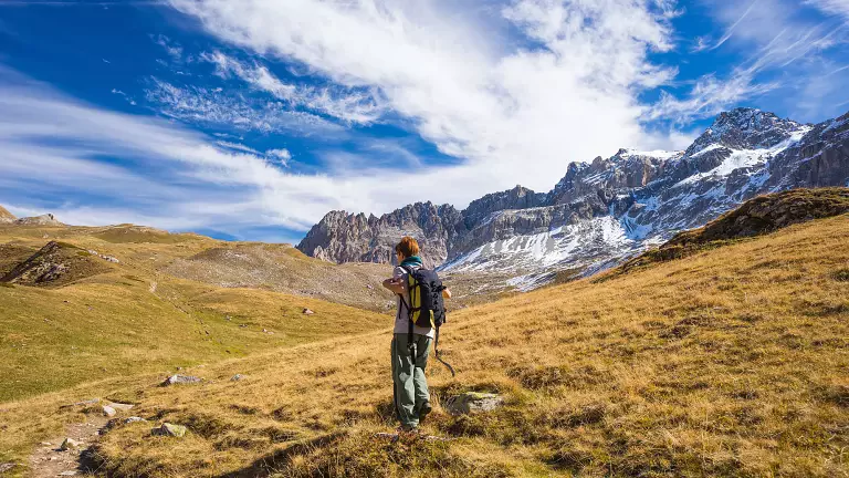
The hike from the Alpe di Rodengo to Cima Lasta (2194 m) is a wide, open itinerary immersed in the vast alpine pastures that connect Rodengo and Luson. It is a long but accessible walk, perfect for those who enjoy open landscapes, traditional mountain huts and panoramic summits without technical difficulties.
Starting point: Zumis car park (1725 m)
From Rio Pusteria you reach the Zumis car park, the gateway to the plateau. The trail begins immediately through sparse woods and rolling meadows, following the “malga road” to Rifugio Roner (1832 m), reached in about 45 minutes.
Mountain huts, pastures and panoramic views
From Roner, continue along Trail No. 2, which climbs gently towards the Pianer Kreuz (1901 m). The route continues across flat meadows to Rifugio Rastner (1931 m) and Rifugio Campoforte (1936 m), two ideal stops for a break surrounded by alpine scenery.
From Campoforte, the path heads towards Malga Lasta, where the view opens completely. Here the route splits: a short detour to the right leads to Trail 67, which climbs the eastern side of the ridge up to the summit cross of Cima Lasta. The ascent requires a bit more effort, but the 360° panorama over the Dolomites and the Zillertal Alps is truly rewarding.
Descent to Prato Croce and return
From the summit, descend the southern slope to Rifugio Prato Croce (1924 m), surrounded by wide alpine pastures. The return follows Trail No. 2 again, crossing the meadows that lead to Raffreid Alm and Malga Sasso. Shortly afterwards you reach the basin of Malga Lasta, from where the route returns to Campoforte, Roner and finally the Zumis car park.