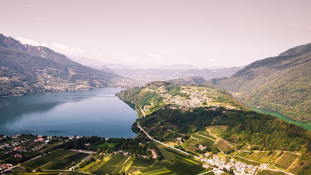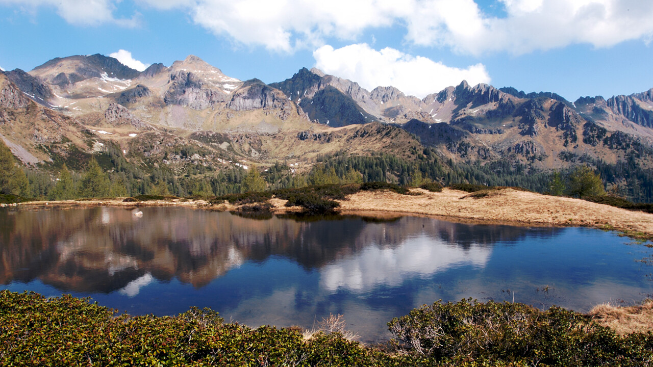
The trail of porphyry is a four-day ring trekking that runs along the peaks that frame the Valle dei Mocheni / Bersntol Fersental, with a panorama that embraces all the peaks of Trentino and South Tyrol. The trail of porphyry leaves and arrives at Palù dei Mocheni / Palai in Bersntol and runs along the front of the First World War. It is a path of historical, cultural and geological interest, which can be traveled clockwise or anticlockwise, from June to September.
Good training and normal mountain clothing are required. It is advisable to start the stages early in the morning and check the availability of the shelters before departure.
There are three refuges on the trail of porphyry: Sprugio "G. Tonini Refuge, Sette Selle Refuge and Erterle Refuge.
Stages
FIRST DAY
Departing from Valle dei Mocheni, car park Palù del Fersina/Palai in Bernstol loc. Lenzi (m 1350) go up following path 462 to Polpen Pass (m 1937), going then down to Malga Stramaiolo (m 1733) where the path 443 is taken that leads to Sprugio "G. Tonini" Refuge (m 1906).
Average time: 3.30h - Difference oin height: uphill m 800, downhill m 200
Alternatives: from Polpen Pass possible deviation going up the soithern ridge of Ruioch Mount (m 2432) and down to G. Tonini Refuge (additional 1.30 h).
SECOND DAY
Departing from Sprugio "G. Tonini" Hut (m 1946) take path 340 that goes up to Val Mattio Pass (m 2298) and follow the ridge between Passo Cagnon di Sopra (m 2121), Conca Mount (m 2301) and Garofani Pass (m 2158), to go down to Sette Selle Refuge (m 1978).
Average time: 3.30 h - Difference in height: uphill 520 m, downhill 530 m
Alternatives: from Val Mattio Pass, possible deviation with climbing of Croce Mount (2489m and additional 2.30h). From Passo dei Garofani, uphill to get to the equiped path 340A "Delio Pace" to Cima d'Ezze (additional 2.40h; difficulty EEA).
THIRD DAY
From Sette Selle Hut (m 1978) with the path 343, walk along the southern side of Sasso Rotto and of Sasso Rosso, reaching Forcella delle Conelle (m 2197). From here the ridge of Cima Cavè is passed (m 2152) and from the pass the walk goes down to path 371 and 372 to get to Val Portela up to Località Cinque Valli, where Erterle Hut is located (m 1418).
Average time: 5.30h - Difference in height: uphill 350m, downhill 920m.
FOURTH DAY
Departing from Erterle Hut (m 1418), go up with path 372B to Forcella La Bassa (m 1834) and from here following path 325, walk along the panoramic ridge of Monte Fravort (m 2347) and Monte Gronlait (m 2838), going down to Passo Portela (m 2152). From the Pass, path 371 goes a bit down to Val Cava (m 1770) to come back up with 324 to Erdemolo Lake (m 2024), where path 325 will take back to the starting point.
Average time: 6.30h - Difference in height: uphill m 1300, downhill m 1450.
Alternatives: possible deviation as shortcut to Portela Pass (5h - Difference in height: uphill m 1000, downhill m 1150).
How to get there and where to park
From the main road SS 47 Valsugana, take the exit for Pergine Valsugana and drive on towards Val dei Mocheni-Palù del Fersina. Parking lot al Palù.
N.B. Before starting the itinerary, it is advisable to find out about the weather and verify the opening of the shelters and their availability.