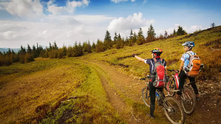
The climb to Rifugio Zallinger is one of the most captivating MTB routes in Val Gardena, a loop that combines Dolomite panoramas, challenging ascents, and enjoyable descents. Starting and ending in Santa Cristina, the tour features about 700 meters of elevation gain and takes half a day, ideal for riders seeking an intense yet accessible experience.
From Santa Cristina to Soplases and into the Jender Valley
From the center of Santa Cristina, you follow the main road to Soplases, where the ascent begins through the forests of the Jender Valley. The gradient increases gradually, offering increasingly wide views of the surrounding peaks.
Towards Saltria and Rifugio Tirler
Once you reach Saltria (Salaria), the landscape opens into a classic alpine plateau. From here, the route continues toward Rifugio Tirler, a perfect spot for a short break before tackling the most demanding section of the tour.
The climb to Rifugio Zallinger
The ramp leading to the Malga–Rifugio Zallinger is the toughest part of the itinerary: a steep and steady climb that tests both legs and lungs. The arrival at the hut rewards every effort with spectacular views of the Sassolungo massif and the Alpe di Siusi.
Descent to Plan de Cunfin and return to Santa Cristina
After a well‑deserved rest, a steep and fast descent helps you recover energy and enjoy the flow of the trail. Back in Saltria, you turn toward Plan de Cunfin and continue downhill until you return to Santa Cristina, completing a varied and satisfying loop.