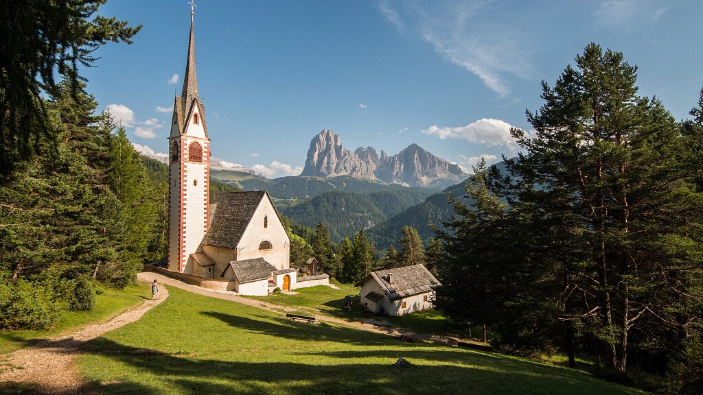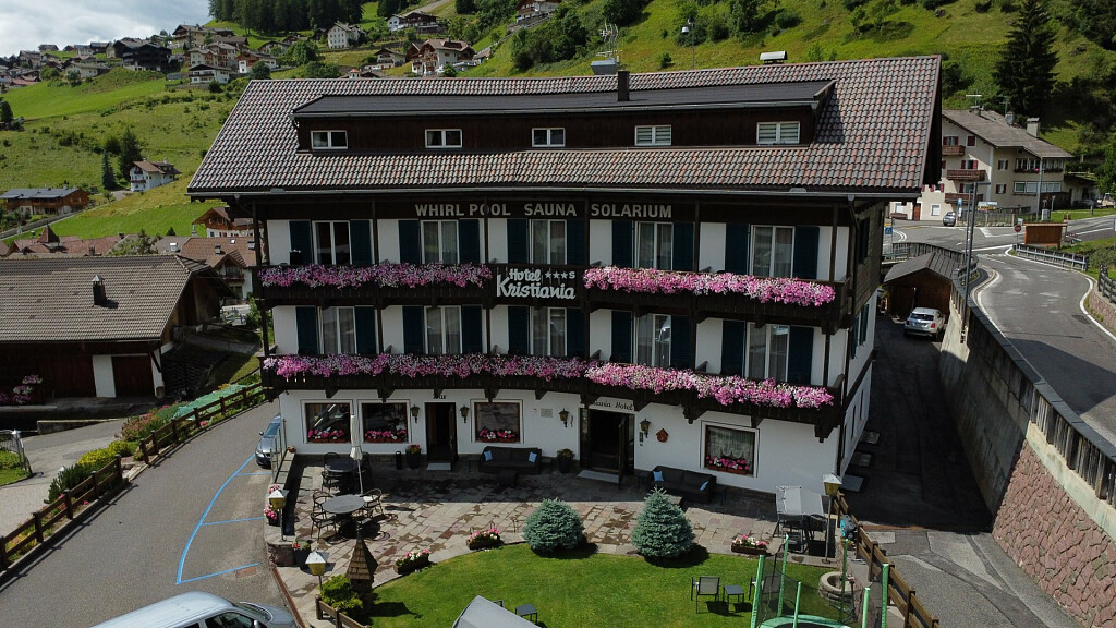
Starting-point: Ortisei/St. Ulrich (1236 mt.)
At a glance: Ortisei/St. Ulrich - Rasciesa/Ratschötz - Saltnerhütte - Rifugio Malga Brogles/Brogleshütte - Ortisei/St. Ulrich
Highest point: Passo di Brogles/Broglessattel (2119 mt.)
Useful advice: easy hike, suitable for families; initially it covers plain footpaths, then long descents. Expert hikers with sure pace can proceed on a footpath (partially improved) from hut Brogles, for about 1 hour and ½, towards Plana pass to go up later, for example, to Saceda and finally after a brief trip by the Saceda cableway, to go down to Ortisei/St. Ulrich.
Itinerary description: from Ortisei/St. Ulrich (1236 mt.) we go to the Rasciesa/Ratschotz chair-lift, which brings us to the upper station (2093 mt.; Hotel). Now an easy footpath (number 35) takes us eastwards till the Saltnerhütte (pretty hut with refreshment available); later, across a wood and on a light descent, we arrive just under the Forcella Valluzza/Flitzer Scharte.
Now we continue over the wood's upper border walking eastwards along some pastures till Brogles pass (2119 mt.). Here we go down to the beautiful Rifugio Malga Brogles/Brogleshütte (2045 mt.; about 2 hours far from the upper station). Descent: from the aforesaid hut we go back to Brogles pass, to go down by footpath number 5 until Val d'Anna/Annatal, and then, crossing fields and woods, we reach the intermediate Saceda cableway station (who wants can take the cableway).
Always walking on footpath number 5 we proceed the descent until the bridge and the Caffè Martin. On a narrow path we arrive at the starting-point (about 2 hours from Brogles).