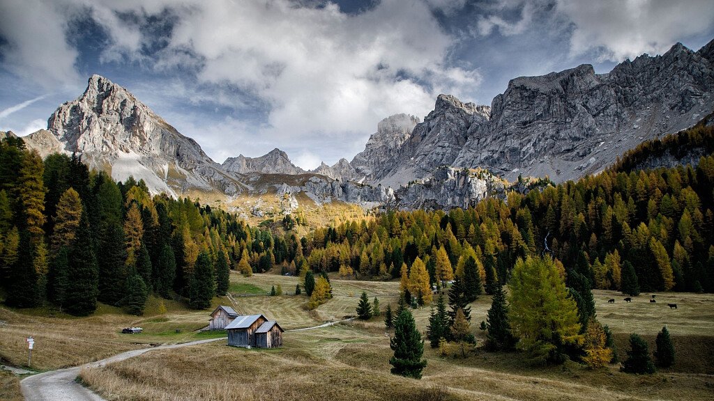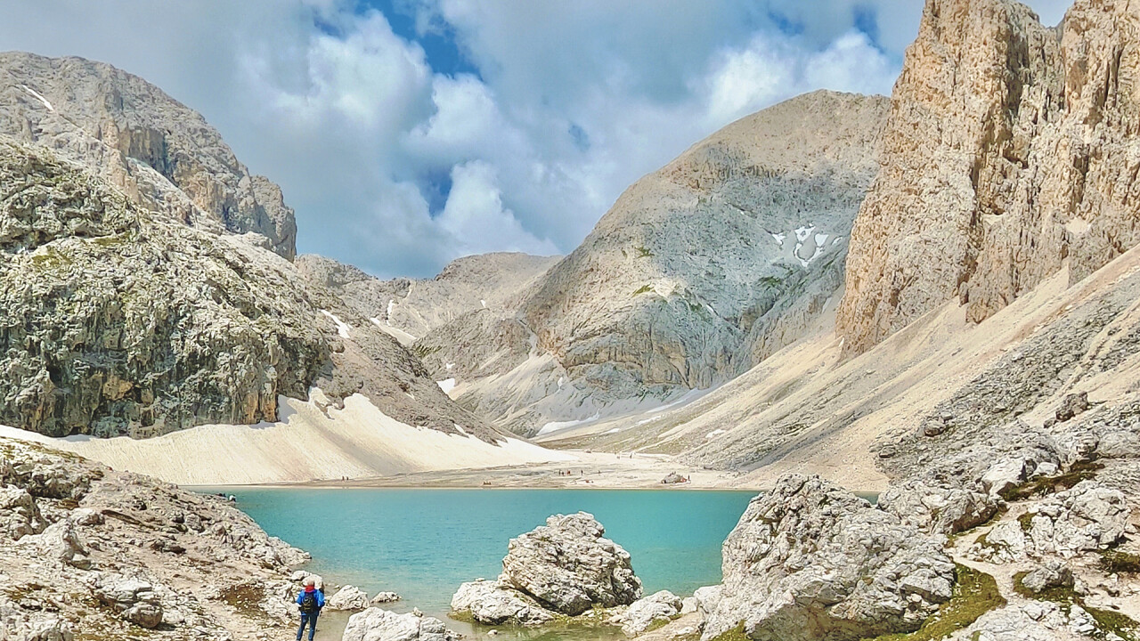
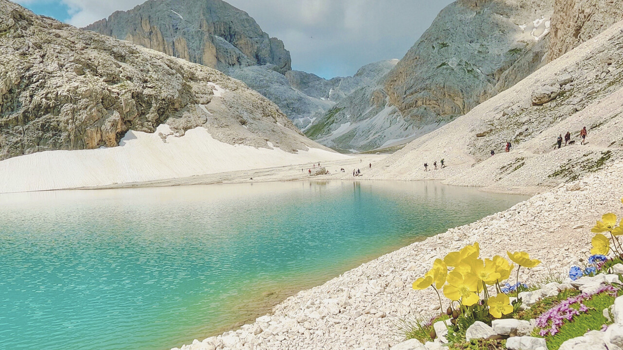
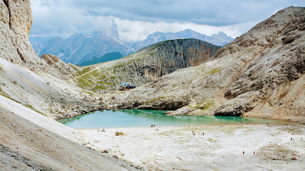
Lake Antermoia is a glacial lake in the Catinaccio Massif, in the Fassa Valley. During the thawing period, the lake is fed by small springs of the Ruf de Antermoia, which flows mostly underground, and then becomes an emissary with the Ruf de Udai stream, giving this lake the peculiarity that it does not dry up in the summer as happens with other lakes of glacial origin. Near the lake is the Antermoia Hut (2,496 m).
How to get to Lake Antermoia
Lake Antermoia and the Antermoia Hut can be easily reached on foot from various points, including Pera di Fassa, Mazzin, Campitello di Fassa, Val Duron, Fontanazzo and the Alpe di Siusi:
From Pera di Fassa, through Val del Vajolet, Gardeccia, and the Antermoia Pass.
Trail nos. 546 and 584 / Time: 4 hours / Easy (E)
Take mule track no. 546 and climb up to the Vajolet Hut in an hour; then take path no. 584 northwards to the Principe Pass, where the hut is located. Now climb to the right, south-east, under the walls of the Catinaccio d'Antermoia to the pass of the same name and the Dirupi del Lasèch. Descend northwards to the vast Antermoia basin and lake.
From Pera di Fassa, through Val Uda
Trail 579 and 580 / Time: 3:30 hours
To reach the Val Udai path, there are 3 options:
1) From the start of the Vajolet chairlift you can use the paid shuttle service that leads to Gardeccia, descending to Ronc and taking trail 579 from there.
2) From the car park at the start of the Vajolet chairlift, walk to Pera di Sopra, on the opposite bank of the Rio Soiàl from where path 546 starts to Monciòn, descend to Ronc and take path 579.
3) Park in Ronc or Monciòn.
Once on path 579, continue until you meet path 580 coming from Mazzin. Continue on the latter until you reach the refuge.
From Mazzin, through Valle Udai
Trail 580 / Time: 3:30 hours / Easy (E)
From the centre of the village, follow the state road for Campitello for about 500m until you reach an old capital on the left of the road. Continue as far as the houses of Bee and then take path 580 until it crosses the one coming from Pera.
From Fontanazzo di Sotto through Valle di Dona
Trail 577-580 / Time: 3:30 hours / Easy (E)
Upstream of the village, path 577 leads to Val di Dona, the path to follow is that of it. 3 / a.
From Campitello di Fassa, through Valle Duròn, Passo delle Ciaregole and Passo di Dona
Trail 578-580 / Time: 4 hours / Easy (E)
There are two ways to reach Val Duròn. You can either park directly on the Streda de Salin, above Campitello, or you can take the shuttle bus, at the entrance to the Streda de Salin, which takes you to the Micheluzzi Hut, gaining an hour and a half's walk.
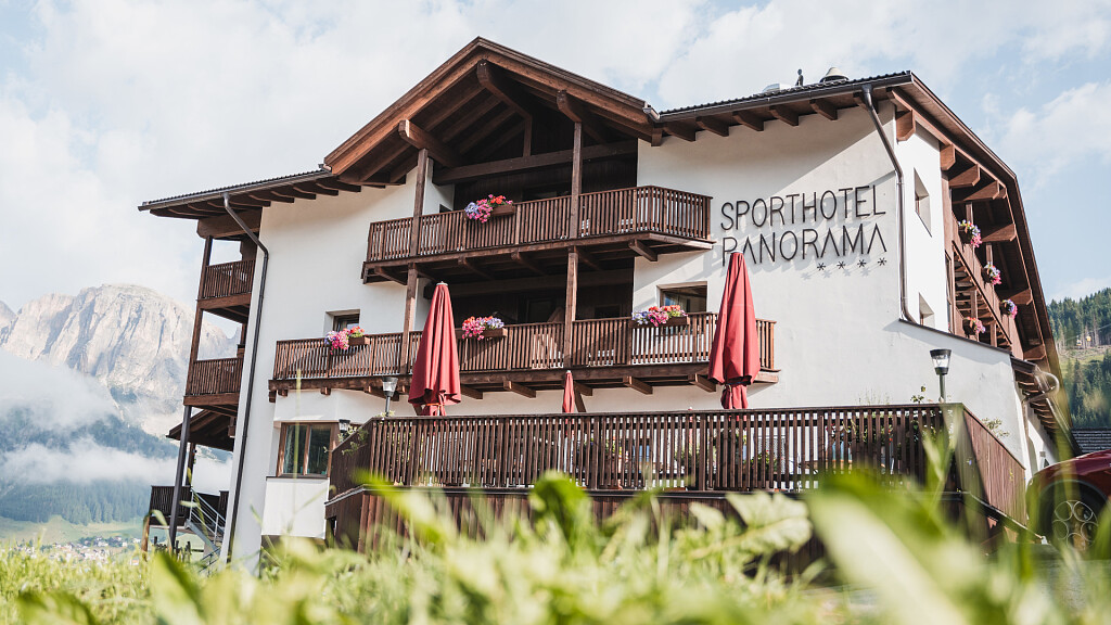
From the Alpe di Siusi via the Passo Tires, the Passo Duròn, the Passo delle Ciaregole and the Passo di Dona m. 2.516
Trail no. 2 (on the side of the Alpe di Siusi) (4-594) 532-555-578-580 / Time: 6 hours.
From the Seiser Alm, take trail no. 2 in the direction of the Panorama Hotel. Reach the Forcella dei Denti di Terra Rossa pass and climb up the trail to the Tires pass (2.30 hours). Continue towards the Sella di Cresta Nera and descend into the Valle Duròn near the Malga Docoldaura, then continue to the right. Go over the Duròn, Ciaregole and Dona Passes and, surrounded by a breathtaking landscape, you will finally reach the Antermoia Hut.