The route leads through a breath-taking landscape passing the natural parks Puez-Odle and Fanes-Senes-Braies, UNESCO World Heritage sites, as well as the imposing Sella Group. The multi-day hike on a ring route, with an altitude difference of about 5000 meters, lasts from four to six days. You will hike from mountain hut to mountain hut, without descending into the valley. For the overnight stay, choose one of the mountain huts along the route. For climbing enthusiasts, several deviations with climbs and fixed rope routes are possible. The hike can be made either clockwise or counter clockwise
Technical data
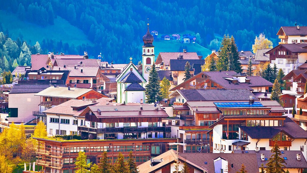
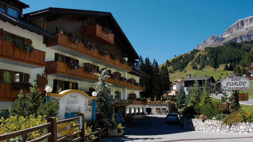
Departure/Arrival: Corvara
Length: 76 km ca.
Total height difference (ascent): 5.550 m
Total height difference (down): 5.010 m
Average duration: 5 - 7 days
Difficulty: easy (for climbers medium - difficult)
Recommended period: from mid June to end of September
Stages
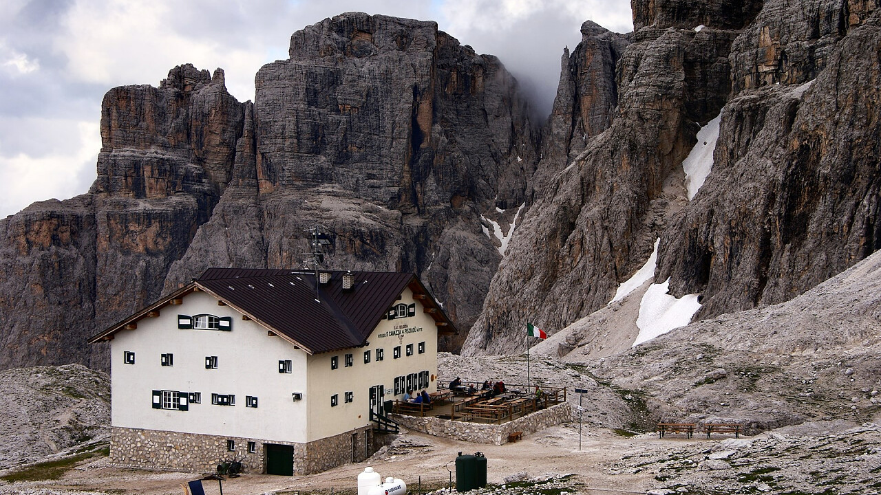
Stage 1: Corvara – Pisciadú hut (4.5h)
From the hamlets of Mersa and Costa to Colfosco. Walking time: 1 hour 10 minutes. On trail no. 650 to the Gardena Pass and via the Col de Frea into the Val Setus valley to the Ütia Pisciadú hut (2,585 m).
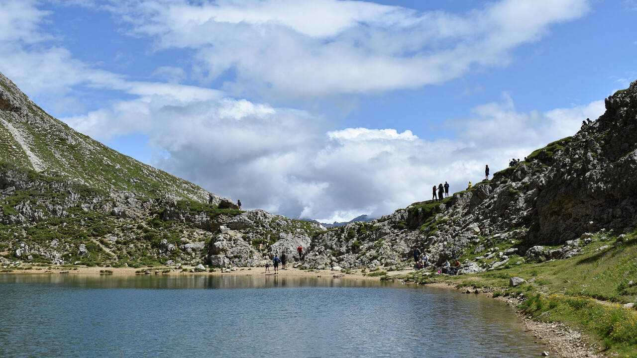
Stage 2: Pisciadú hut– Piz Boé – Franz Kostner hut (5h)
From the Pisciadú hut to the Pisciadú lake (2,564 m) and through the Val de Tita to the Mëisules high plateau. On the cable-secured mountain trail to the Boé hut (2,871 m). Up across scree to the Piz Boé and the Capanna Fassa hut (3,152 m). Down to the Pizes dl Valun to the Ütia Franz Kostner hut 2,517 m).
Stage 3: Franz Kostner hut – Campolongo pass – Pralongiá – Valparola (6-7 h)
From the Franz Kostner hut down to the Boé lake (2,255 m) and along a sandy track to the Campolongo Pass (1,875 m). Climb gradually up to the Pralongiá plateau (2,571 m) and go round the Setsas peak to the Valparola mountain hut (2,168 m).
Stage 4: Valparola hut – Piccolo Lagazuoi peak – Limo pass – Lavarela hut (6-6.5 h)
Shortly before the Valparola Pass take trail no. 18B and 20A (partly cable-secured) up to the Piccolo Lagazuoi (2,778 m) and the Lagazuoi cable car. Continue on to the Lagazuoi lake (2,182 m) and steeply up into the Forcella del Lago passage (2,486 m) and on to the Alpe di Fanes Alpine pasture. Over the Limo Pass (2,172 m) to the Ütia de Fanes (2,060 m) and Lavarela huts (2,042 m).
Stage 5: Lavarela hut – La Crusc/Santa Croce – La Crusc hospice – Badia (5,5 – 6h)
From the Lavarela hut take follow trail no. 7 as far as the crossroads and go through the Forcella La Crusc/Santa Croce gap (2,612 m) to the rounded summit of the Sas dla Crusc/Sasso Santa Croce (2,907 m). Proceed down to the top station of the Santa Croce chairlift (1,840 m) and follow the easy trail through woods and meadows to Badia.
Stage 6: Badia - La Villa – Gherdenacia pateau – Puez hut (5 – 6h)
From Badia up to Ciaminades and La Villa (1,477 m). Continue and on trail no. 5 up to the Ütia de Gardenacia hut (2,475 m). Head up through woodland towards the Forcela de Gherdenacio gap (2,558 m) and across the limestone plateau to the Ütia Puez hut (2,050 m).
Stage 7: Puez hut – Gardena pass – Corvara (5h)
From the Ütia Puez hut go over the Crespëina high plateau to the Cir ridge (2,469 m) and down to the Gardena pass (2,121 m). Walk on the quite even trail no. 8 and through the the Stella Alpina valley to Colfosco. Head back to Corvara along the sunny Mersa road (closed to traffic).
N.B. Before starting the itinerary, it is advisable to find out about the weather and verify the opening of the shelters and their availability.