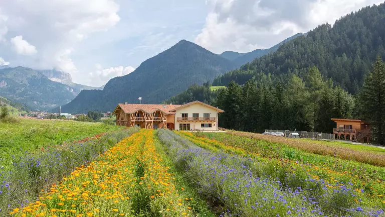
 © Mario Vidor
 © Angela Pierdonà
The hike begins in Gardeccia, a wide alpine basin at around 1950 m. You can reach Gardeccia in two ways:
from Ciampedie, taking the cable car from Vigo di Fassa and then following trail 540 for about 45 minutes,
or from Pera di Fassa, using the Vajolet I/II chairlifts and walking for 25 minutes.
From Gardeccia, the trail starts with a short ascent before continuing across a gentle, almost flat section. A final, steeper ramp leads to the Vajolet and Preuss Huts (2243 m), reached in roughly 50 minutes.
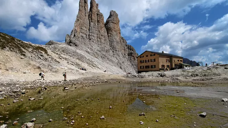
The second part of the hike is more demanding. The ascent is not technically difficult, but it does require good fitness and steady footing. The trail climbs a steep gully—at times you may use your hands on the rock—before reaching the Re Alberto I Hut (2621 m) in just under an hour. Here, in the legendary Gartl cirque, you’ll find a small alpine lake (often dry by late summer), the dramatic north face of the Catinaccio, the Croda di Re Laurino, and the iconic Vajolet Towers (2821 m) rising slender and vertical above the basin. It’s a magical place where the only colours are the pale Dolomite rock and the deep blue sky.
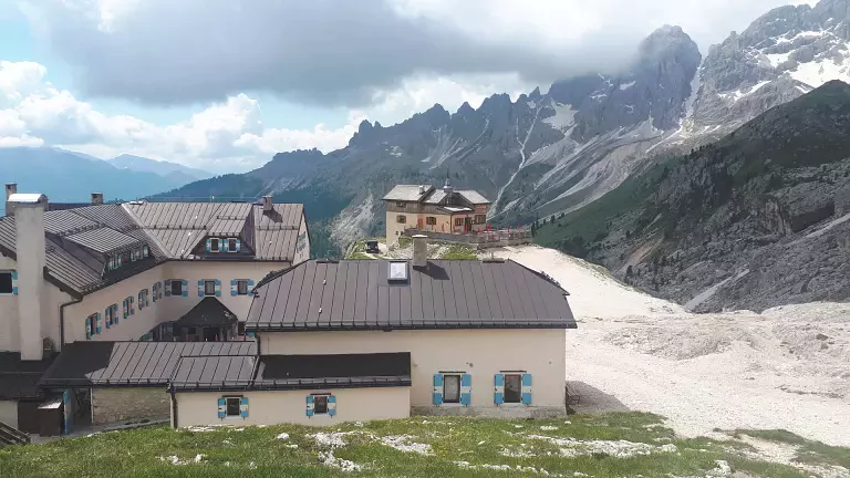
Continue southward for another 20–25 minutes to reach the final stop of this spectacular route: the Santner Pass Hut (2741 m). Perched on a natural panoramic terrace, it offers breathtaking views over the Val d’Ega and the distant Bolzano basin.