Easy but majestic high-altitude hike: from Acereto to the huts of Riva di Tures
Starting-point: parking Gasteigerhof/Acereto/Achornach (1,574 m)
At a glance: Gasteigerhof - Stockerhof - Lobiser Schupfen - Malga Dura Alm - Riva di Tures/Rein in Taufers
Highest point: Malga Dura superiore/Dura Oberhütte (2,211 m)
Height difference: 637 m
Difficulty: four climbing-boots hike
Useful advice
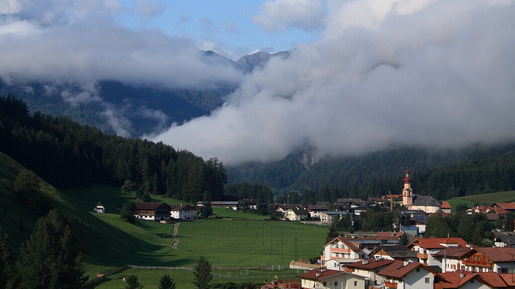
This long and easy high-altitude hike covers the sunlit side of Riva di Tures/Rein in Taufers and Valle dei Dossi/Knuttental while passing across some shady woods and some sunlit mountain pastures. The path lets us watch the splendid spectacle shaped by the glaciers of Vedrette di Ries, which from the beginning of the summer, is filled with many varieties of flowers. At halfway (Riva di Tures/Rein in Taufers) it's possible to stop. Equipment: mountain wear, anti-slide boots and snacks.
Itinerary description
We start in Campo Tures/Sand in Taufers directed to Acereto/Achornach and to the parking near the Gasteierhof (1,574 m). From here we continue on foot along footpath number 10 towards the Stockerhof (1,642 m) and then along the forest path (going eastwards) till the mountain meadows surrounded by a wood (about 1,780 m). Later, after a long walk, we arrive at a large footpath that passes across many conifers until the so-called Lobiser Schupfen (10 picturesque barns at about 1,950 m height; in the dialect language "lobiser" means the sheets/leafs of the Alpenampers).
Nearby the barns (here we can choose to go back early to Riva di Tures/Rein in Taufers) begins the panoramic high-altitude footpath (Number 1 A) that goes flatly or ascending across grassy slopes arriving first at the Mittermayeralm Hut, then at Malga del Palù/Moosmayeralm/, Malga Irba/Hirberalm and finally at Malga Dura di Sopra/Dura Oberhütte (2,221 m).
At this point we go up for a little to reach Malga Dura, where the high-mountain footpath terminates (2,096 m; refreshment). From the last hut we go down along footpath number 1 crossing a wood towards Valle dei Dossi/Knuttental and then we proceed on the bottom-valley road till Riva di Tures/Rein in Taufers.
Maps
- Freytag & Berndt, sheet 152 (Mayrhofen - Zillergrund - Valle Aurina/Ahrntal)
- Kompass, sheet 82 (Valli di Tures e Aurina)