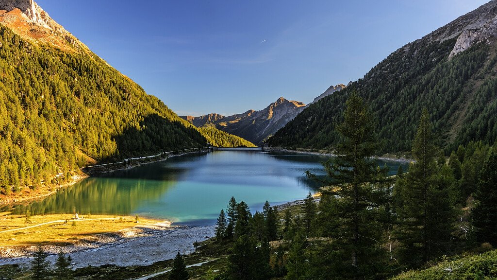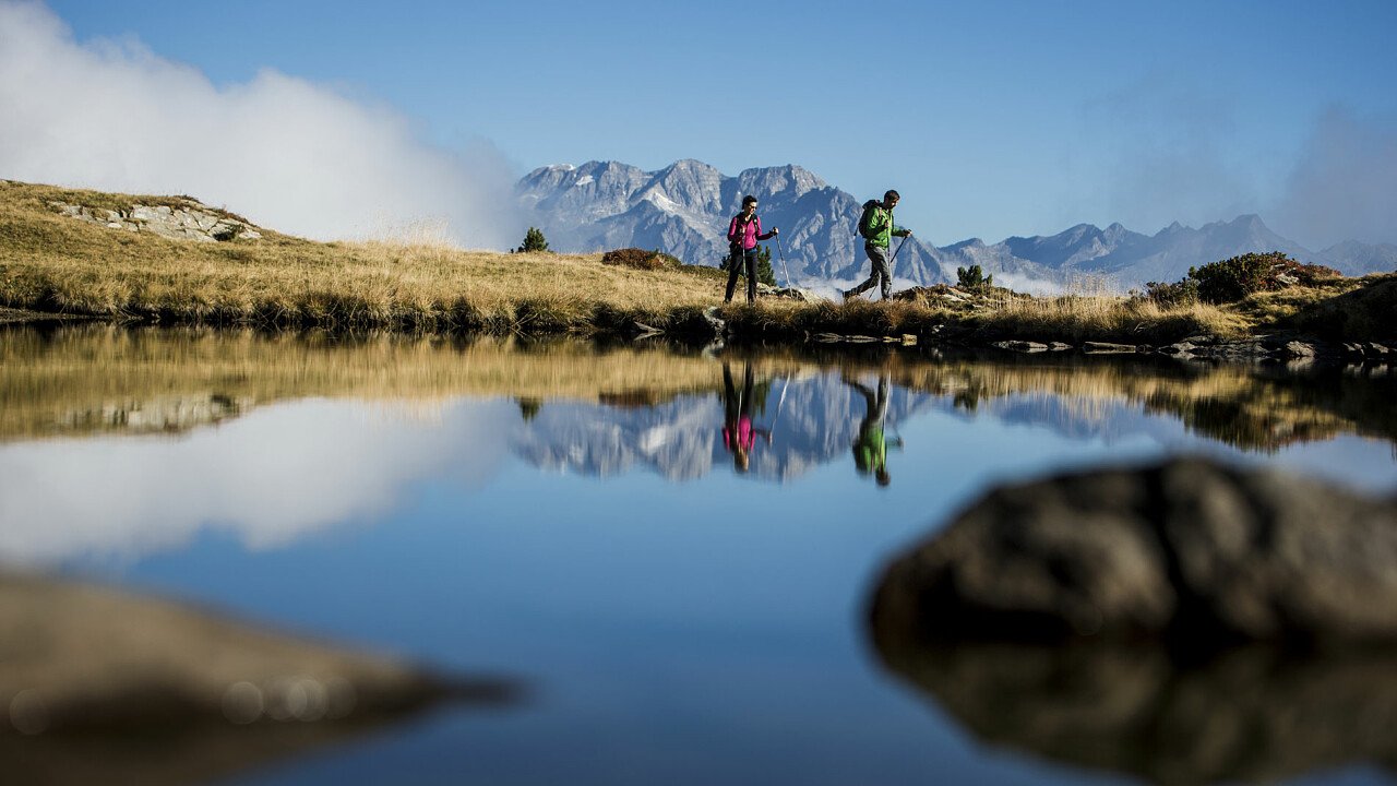
Alta Via Neves is a 17 km long, 6-8 hour ring route that starts at the Neves lake in the Tures and Aurina valleys. You park the car at the lake, then continue along its banks to the north, until you reach a sign that indicates the Rifugio Porro. Follow the path in the middle of the forest, cross Malga di Neves and, after 1 and a half hours, you will reach the refuge. Continue on Alta Via di Neves (no. 1) which winds at the foot of the Gran Mesulé and Punta Bianca. The panorama that stands out in front is unequaled: the Monti di Fundres, Lake Neves, the Dolomites in the south, the Cima di Campo, the Punta Bianca and the Gran Mesulè. After about 4 hours of walking we reach the Ponte di Ghiaccio hut. We descend to the valley along the path 26 until we reach the starting point.
Technical dates
Starting point: Lake Neves
Route: Lake Neves - Neves mountain hut - Porro mountain hut - Alta Via di Neves - Ponte di Ghiaccio mountain hut - Lake Neves
Signpost: 24, 1, 26 (Alta Via di Neves)
Distance: approx. 16 km
Walking time: approx. 6 - 8 hours (1.5 hours to the Porro mountain hut, approx. 4 hours on the Alta Via di Neves, approx. 1.5 hours Ponte di Ghiaccio mountain hut - Lake Neves)
Altitude difference: approx. 1,470 m
N.B. Before starting the itinerary, it is advisable to find out about the weather and verify the opening of the shelters and their availability.