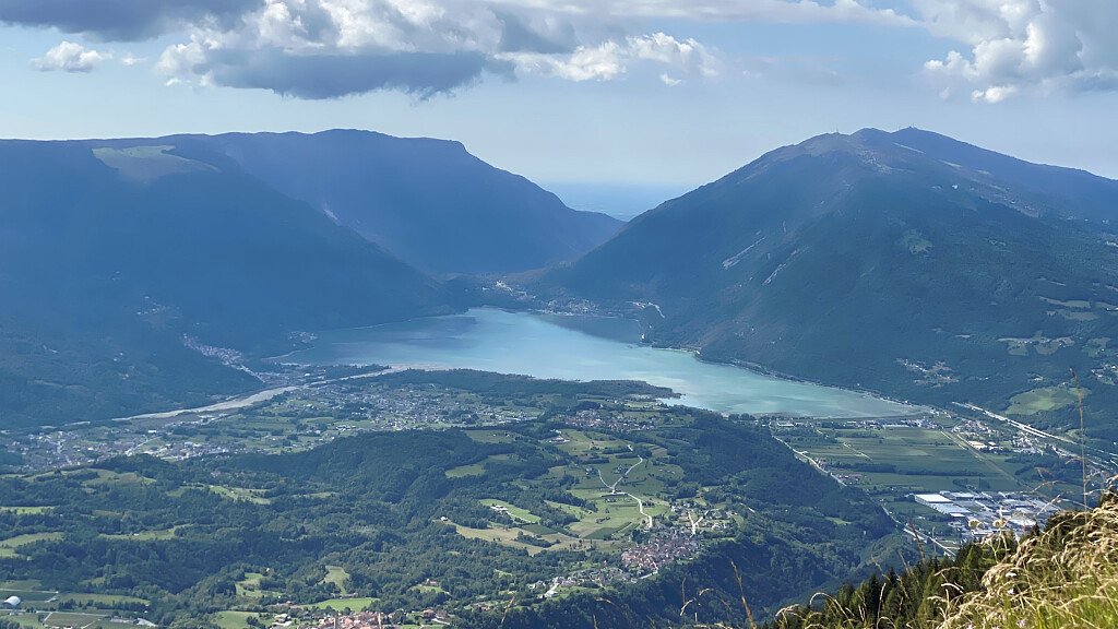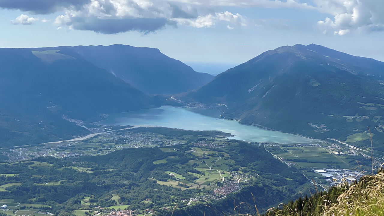
The Alpine Path of the Dolomites no. 7 extends entirely on the edge of the wide limestone ridge of Col Nudo-Cavallo (Eastern Alps-Prealpi Carniche) which divides the lower basin of the Piave from that of Vajont and Cellina, with a development of about 30 km, on boundary of the Province of Belluno to the SO and that of Pordenone to the NE.
Developed along about 36 km, traversable in 5 stages and linking the Dolomieu al Dolàda Refuge, located in Pieve d'Alpago, with Tambre, the hiking path is dedicated to Lothar Patéra, Austrian pioneer of mountaineering, who fell in love with these mountains, such as the Col Nudo Group, Monte Teverone, Crèp Nudo, the Punta della Federòla, Monte Mèsser and Monte Cavallo.
Recommended for more experienced and trained hikers, the path remains at an average altitude of 2000 meters, with difficulty on rock never higher than the second degree, but with frequent stretches on mixed soil of rocks and grasses, often very exposed and insidious; the itinerary was, however, equipped with security fixtures, which allow you to proceed with relative ease on the most rugged slopes.Due to the scarcity of shelters along the way, it is also essential to bring a sleeping bag and a tent to set up a bivouac outdoors: one is expected at the end of the first stage, near Col di Piero or Forcella Low behind Taverone. The signs used are represented by a red circle, with a central blue field, even if for long stretches it can be discolored.
Alpine Path of the Dolomites 7: technical stages
Path: Rifugio Dolomieu al Dolada (BL) – Tambre (BL)
Crossing time: 5 days
Trail length: about 36 km
Shelters on the main route: 2
Bivouacs on the main route: 2 bivouacs, 1 grotto, 1 mountain hut
Longest leg: from Toffolon Bivouac to Semenza hut – Bivacco Lastè - IV stage – 8.30 hours
Shortest leg: from Casera Venal to Toffolon Bivouac – III stage – 4 hours
Total crossing time: almost 30 hours
Difficulty: Trekking, Equipped Trekking
Total altitude difference uphill: about 3100 m
Total altitude difference downhill: about 3700 m
Maximum altitude difference uphill: 800 m, from Casera Venal to Forcella Federola
Maximum altitude difference downhill: 1100 m,, from Semenza hut to Tambre
Maximum trail altitude: Cimon del Cavallo, 2251 m
Minimum trail altitude: Tambre, 922 m
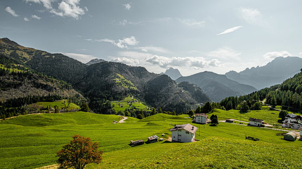
Dolomites group along the way: Col Nudo - Cavallo
Opening period of the shelters: from June to September
Recommended period: from the end of June to the end of September
Signs: adequate everywhere
Alpine Path of the Dolomites 7: recommended topographic maps
Tabacco map 1:25.000
- n.012 “Alpàgo - Cansiglio - Piancavallo - Val Cellìna” (covers all the interested land)
Alpine Path of the Dolomites 7: stages
Stage 1: Dolomieu al Dolada hut - Valbona Pass
Hiking time: 4.30 hours
Signs: no. 905, 960, 965
Stage 2: Valbona Pass - Crep Nudo to Casera Venal
Hiking time: 8 hours
Signs: no. 965, 930
Stage 3: Casera Venal - Bivacco Toffolon
Hiking time: 4 hours
Stage 4: Toffolon Bivouac - Semenza hut – Lastè Bivouac
Hiking time: 6 hours and 30 minutes
Signs: no. S 619, n. 338, 336, 207, 341
Stage 5: Semenza hut - Tambre
Hiking time: 4.30 hours
Signs: trail sign Alpine Path of the Dolomites no. 6, no. 923
N.B. Before starting the itinerary, it is advisable to find out about the weather and verify the opening of the refuges and their availability.